Login

Forgotten password?

Cookies have to be accepted!
Your browser's cookie functionality is disabled. Please enable this functionality.

Not a member yet?

Register now
Login

Available for registred users only

Log in to use this feature.

Forgotten password?

Cookies have to be accepted!
Your browser's cookie functionality is disabled. Please enable this functionality.

Not a member yet?

Register now
Filter
Categories
Advanced filters
  • Distance (km)
  • Height
Save filters Reset filter

TrackRank

QRCode

Technical data

Distance6,8 km Height446 m Way down446 m Duration03:00 h:m Date01.11.2009
Scores Author Landscape Fun factor Fitness Technique

Statistics

262 Views Scores 21 Downloads Average
Rate
  • Track data sheet
  • Directions
  • Downloads
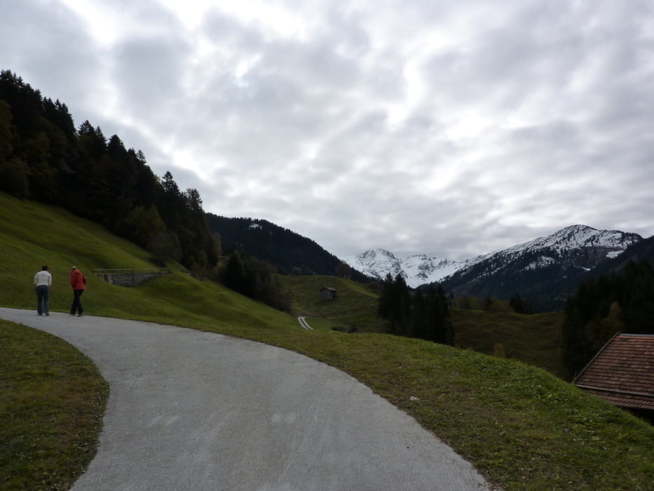
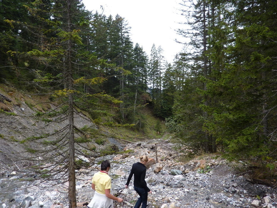
Hinter der kleinen Ortschaft Sigg geht's erst mal mässig bergan in Richtung Süden. Nach ca. 2 km biegen wir nach rechts ab, steil hinunter in den Bärentobel und folgen dabei den Wegweisern nach Schluocht.

Tour gallery

Tour map and elevation profile

  • Open Street Map
  • Google
Minimum height 1165 m Maximum height 1474 m Detailed view

More about the tour author

ckjh
Member since 2009

Send private message

Comments

Mit dem Auto nach Grüsch und  von dort weiter in Richtung Danusa/Sigg. Hinter Sigg Auto am Strassenrand abstellen und los geht's.

GPS tracks

Trackpoints
  • GPX / Garmin Map Source (gpx) download
  • TCX / Garmin Training Center® (tcx) download
  • CRS / Garmin Training Center® (crs) download
  • Google Earth (kml) download
  • G7ToWin (g7t) download
  • TTQV (trk) download
  • Overlay (ovl) download
  • Fugawi (txt) download
  • Kompass (DAV) Track (tk) download
  • Track data sheet (pdf) download
  • Original file of the author (gpx) download

More about the tour author

ckjh
Member since 2009

Send private message
Share track
Add to my favorites
Remove from my favorites
Edit tags
My score
Rate
Track: Sigg
Type: Hiking
Distance: 6,8 km
Evaluated on:
Duration:
Day(s)
Hour(s)
Minute(s)
Score: Landscape Fun factor Fitness Technique