Login

Forgotten password?

Cookies have to be accepted!
Your browser's cookie functionality is disabled. Please enable this functionality.

Not a member yet?

Register now
Login

Available for registred users only

Log in to use this feature.

Forgotten password?

Cookies have to be accepted!
Your browser's cookie functionality is disabled. Please enable this functionality.

Not a member yet?

Register now
Filter
Categories
Advanced filters
  • Distance (km)
  • Height
Save filters Reset filter

TrackRank

QRCode

Technical data

Distance16,6 km Height509 m Way down517 m Duration00:00 h:m Date02.11.2009
Scores Author Landscape Fun factor Fitness Technique

Statistics

3003 Views 1 Score 100 Downloads 5.00 Average
Rate
  • Track data sheet
  • Directions
  • Downloads
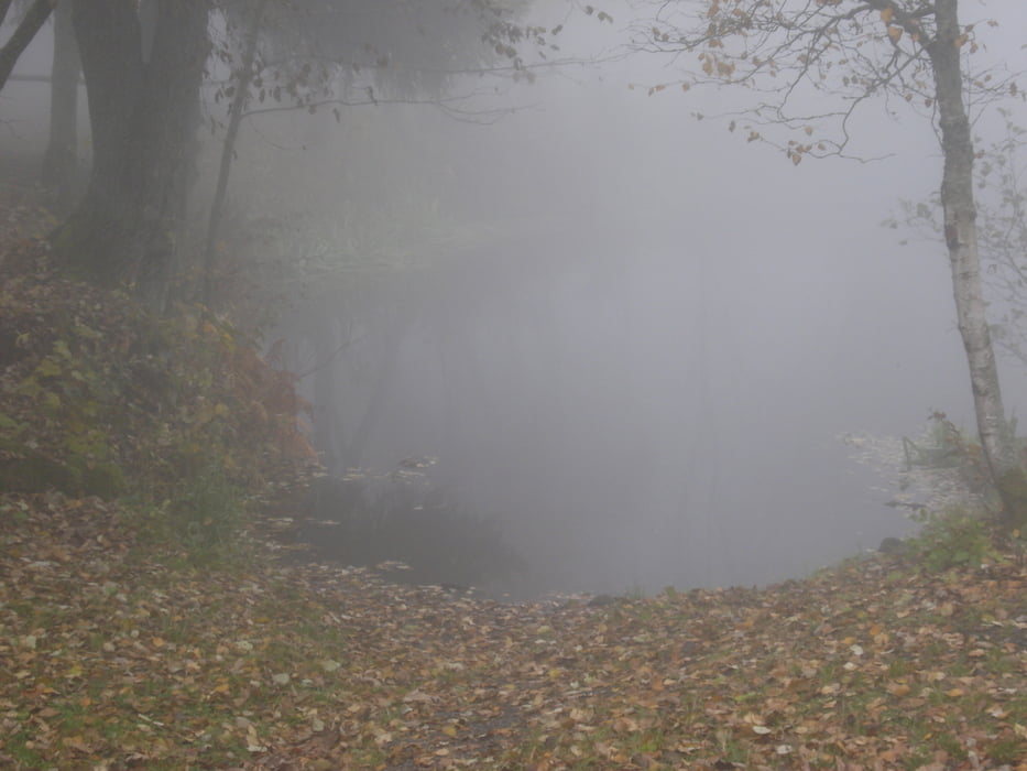
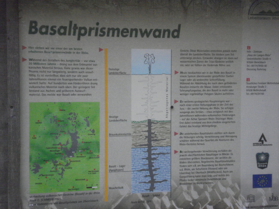
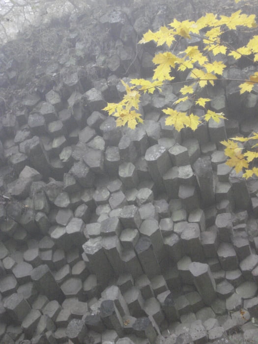
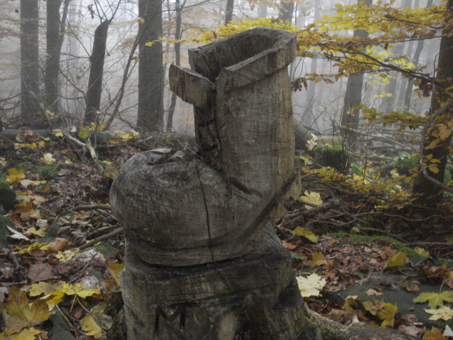
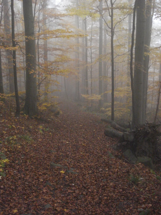
Beginnend an der Fischerhütte in Ginolfs geht es Richtung Basaltsee, von dort aus zur Thüringer Hütte auf dem Rundwanderweg Nr.8. Nach einer kleinen Rast geht es weiter Richtung Schweinfurter Haus, dann auf dem Wanderweg Nr. 6 nach Ginolfs zurück.

Tour gallery

Tour map and elevation profile

  • Open Street Map
  • Google
Minimum height 500 m Maximum height 787 m Detailed view

More about the tour author

Flitzer
Member since 2009

Send private message

Comments

GPS tracks

Trackpoints
  • GPX / Garmin Map Source (gpx) download
  • TCX / Garmin Training Center® (tcx) download
  • CRS / Garmin Training Center® (crs) download
  • Google Earth (kml) download
  • G7ToWin (g7t) download
  • TTQV (trk) download
  • Overlay (ovl) download
  • Fugawi (txt) download
  • Kompass (DAV) Track (tk) download
  • Track data sheet (pdf) download
  • Original file of the author (gpx) download

More about the tour author

Flitzer
Member since 2009

Send private message
Share track
Add to my favorites
Remove from my favorites
Edit tags
My score
Rate
Track: Fischerhütte-Thüringer Hütte und zurück
Type: Hiking
Distance: 16,6 km
Evaluated on:
Duration:
Day(s)
Hour(s)
Minute(s)
Score: Landscape Fun factor Fitness Technique