


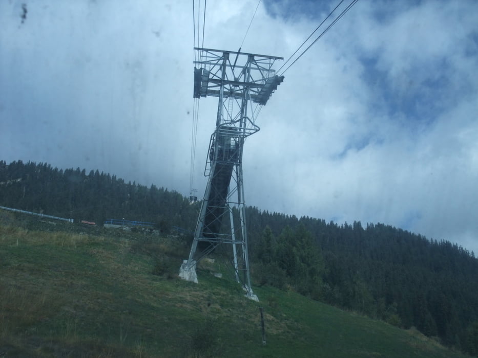
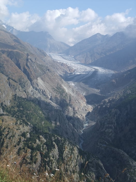
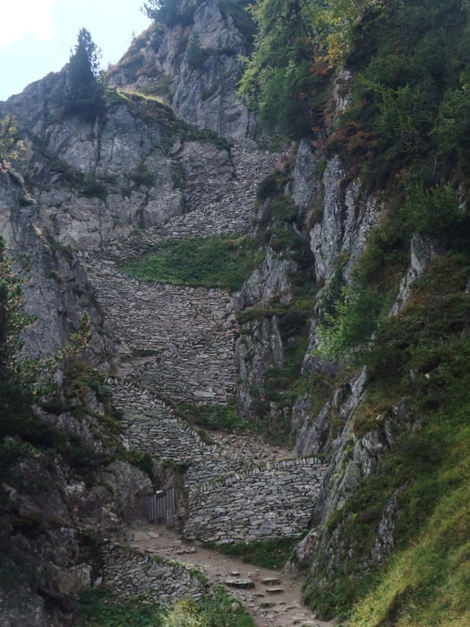
Wir haben das Auto oberhalb der Mittelstadion auf einem kleinen Parkplatz abgestellt und sind dann in der Mittelstadion zugestiegen (besser vorher im Fahrplan abchecken wann die Bahn hält - sonst kann die Wartezeit etwas länger werden, da nicht jeder Bahn hält), der Einstieg in luftiger Höhe ist schon interessant. Oben folgt man dem Höhenweg bis zum Aletschbord, wo sich ein schöner Blick auf den Aletschgletscher öffnet. Hier beginnt der Abstieg über einen schmale Pfad der aber gut befestigt ist (Wanderschuhe sind Vorraussetzung).
Wir hatten vor bis zur Hängbrücke über den Gletscher zu gehen, mussten aber aus Zeitgründen abbrechen und umdrehen (für den Weg bis zur Brücke und zurück sind noch ca. 2-3 Std. einzuplanen).
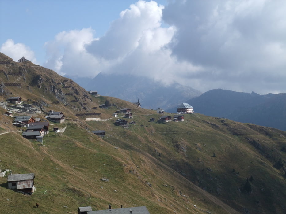
Den Rückweg zum Parkplatz haben wir über die Belalp gemacht. Alles in allem eine landschaftliche sehr schöne Gebirgstour.
www.brig-belalp.ch/regionorte/blatten-belalp1327-2098m.php
Further information at
http://de.wikipedia.org/wiki/AletschgletscherTour gallery
Tour map and elevation profile
Minimum height 1681 m
Maximum height 2139 m
More about the tour author
|
|
JZE |
Comments

Mit dem Auto erreicht man einen kleinen Parkplatz oberhalb der Mittelstadion.
GPS tracks
Trackpoints-
GPX / Garmin Map Source (gpx) download
-
TCX / Garmin Training Center® (tcx) download
-
CRS / Garmin Training Center® (crs) download
-
Google Earth (kml) download
-
G7ToWin (g7t) download
-
TTQV (trk) download
-
Overlay (ovl) download
-
Fugawi (txt) download
-
Kompass (DAV) Track (tk) download
-
Track data sheet (pdf) download
-
Original file of the author (gpx) download
More about the tour author
|
|
JZE |
Add to my favorites
Remove from my favorites
Edit tags
Open track
My score
Rate