

Percorso fatto il 25/01/2009
Si parcheggia nei pressi del ristorante Tomanegger(0471340008 chiuso mercoledì) che si trova sulla strada che da San Genesio conduce a Valas.
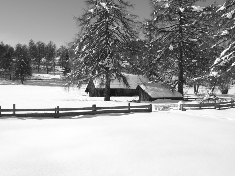
Si attraversa la sede stradale e a pochi metri sale la strada forestale segnata 30/A che salendo ci porta a scollinare direzione Wieser(0471354294) seguendo il sentiero10.
Si rientra dalla stessa via con una piccola deviazione sul sentiero 30
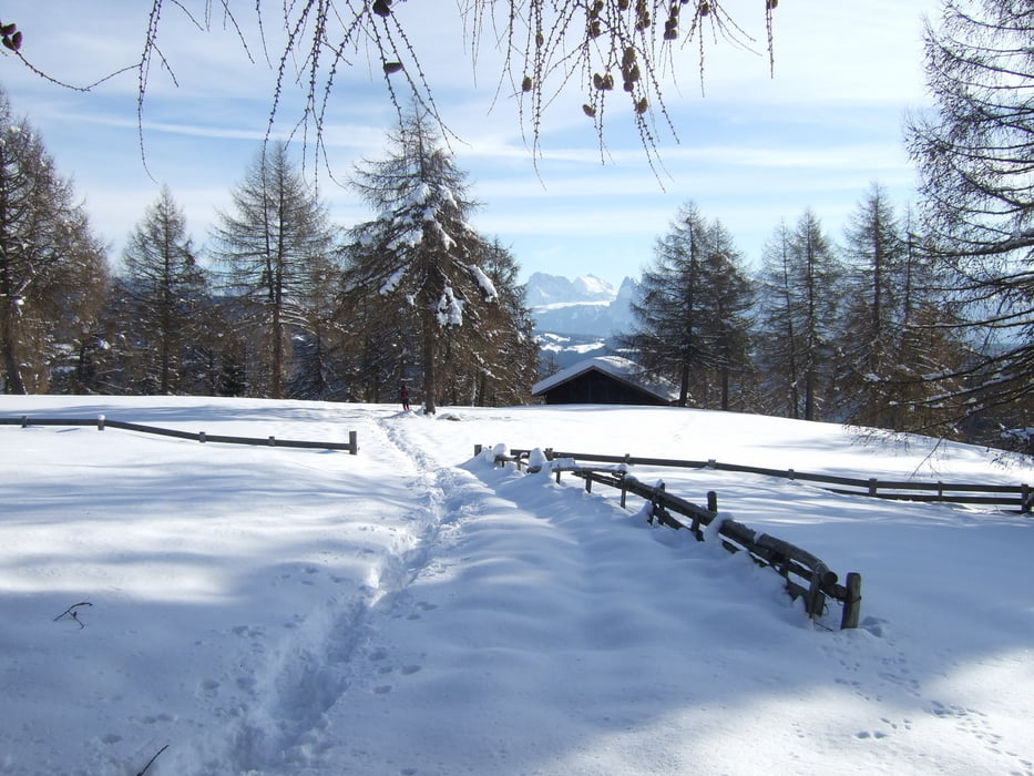
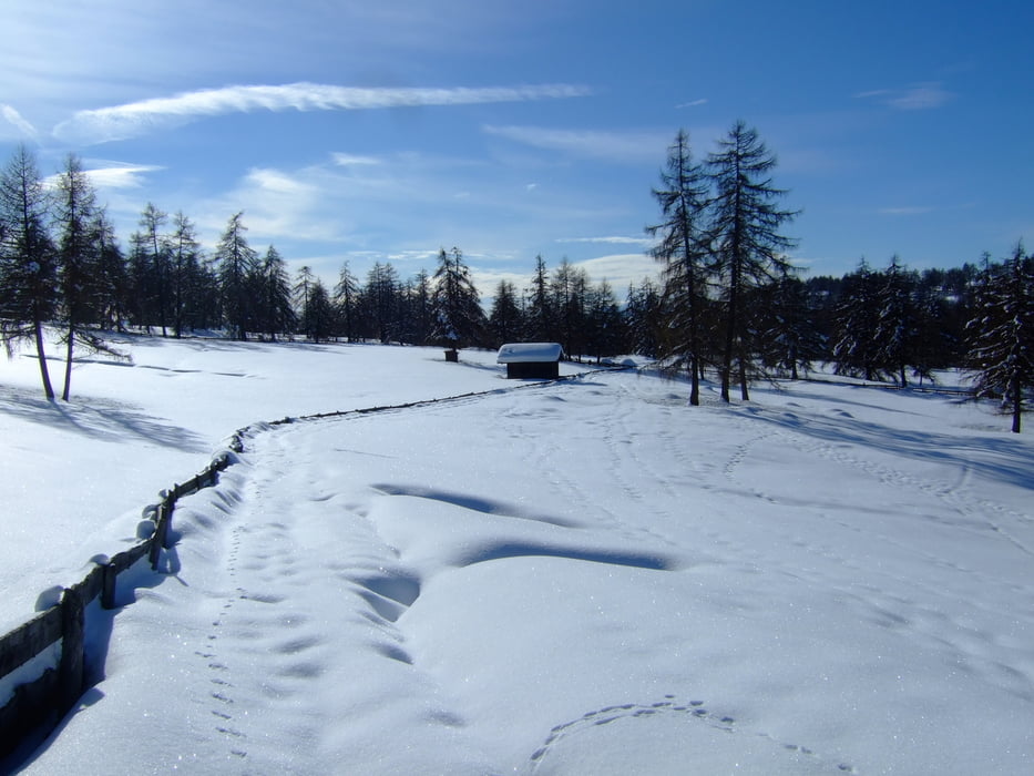
Percorso facile che non sempre si può fare visto la bassa altitudine.
Ideale quando come quest'anno nevica molto.
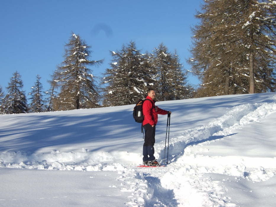
Se fatto con neve fresca e non battuta diventa anche impegnativa.
Se battuto si può anche continuare con il sentiero 2 fino al Tchaufen (0471/668235)
Consiglio:Se non si conosce la zona bisogna essere dotati di GPS, i sentieri sotto la neve non si vedono.
Tour gallery

Tour map and elevation profile
Minimum height 1328 m
Maximum height 1476 m
More about the tour author
|
|
Paolo-Margit |
Comments

Da Bolzano si prende la SP che porta a San Genesio.
Proseguire per Valas (Meltina) e dopo circa 10/15 KM si vedra sulla destra (affianco alla strada) il Ristorante Tomanegger.
GPS tracks
Trackpoints-
GPX / Garmin Map Source (gpx) download
-
TCX / Garmin Training Center® (tcx) download
-
CRS / Garmin Training Center® (crs) download
-
Google Earth (kml) download
-
G7ToWin (g7t) download
-
TTQV (trk) download
-
Overlay (ovl) download
-
Fugawi (txt) download
-
Kompass (DAV) Track (tk) download
-
Track data sheet (pdf) download
-
Original file of the author (gpx) download
More about the tour author
|
|
Paolo-Margit |
Add to my favorites
Remove from my favorites
Edit tags
Open track
My score
Rate