Login

Forgotten password?

Cookies have to be accepted!
Your browser's cookie functionality is disabled. Please enable this functionality.

Not a member yet?

Register now
Login

Available for registred users only

Log in to use this feature.

Forgotten password?

Cookies have to be accepted!
Your browser's cookie functionality is disabled. Please enable this functionality.

Not a member yet?

Register now
Filter
Categories
Advanced filters
  • Distance (km)
  • Height
Save filters Reset filter

TrackRank

QRCode

Technical data

Distance20,1 km Height137 m Way down1195 m Duration04:40 h:m Date19.11.2009
Scores Author Landscape Fun factor Fitness Technique

Statistics

5143 Views 1 Score 92 Downloads 3.00 Average
Rate
  • Track data sheet
  • Directions
  • Downloads
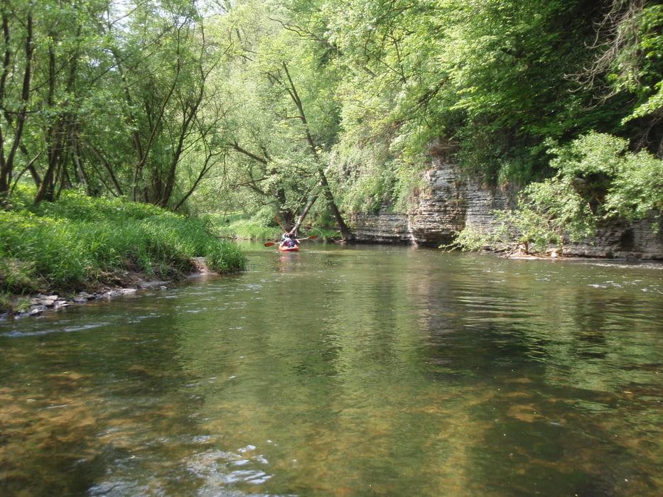
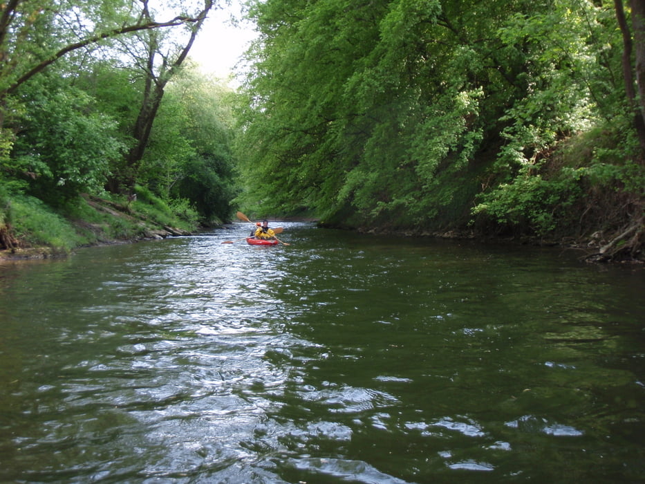
Einsame Kanufahrt auf der Murr

Tour gallery

Tour map and elevation profile

  • Open Street Map
  • Google
Minimum height 130 m Maximum height 1246 m Detailed view

More about the tour author

Hassor
Member since 2008

Send private message

Comments

Colin72 on 24.11.2009

interessant . . .
Einstieg in Backnang beim Etzwiesenstadion

GPS tracks

Trackpoints
  • GPX / Garmin Map Source (gpx) download
  • TCX / Garmin Training Center® (tcx) download
  • CRS / Garmin Training Center® (crs) download
  • Google Earth (kml) download
  • G7ToWin (g7t) download
  • TTQV (trk) download
  • Overlay (ovl) download
  • Fugawi (txt) download
  • Kompass (DAV) Track (tk) download
  • Track data sheet (pdf) download
  • Original file of the author (gpx) download

More about the tour author

Hassor
Member since 2008

Send private message
Share track
Add to my favorites
Remove from my favorites
Edit tags
My score
Rate
Track: auf der Murr von Backnang nach Marbach
Type: Boat and canoe
Distance: 20,1 km
Evaluated on:
Duration:
Day(s)
Hour(s)
Minute(s)
Score: Landscape Fun factor Fitness Technique