


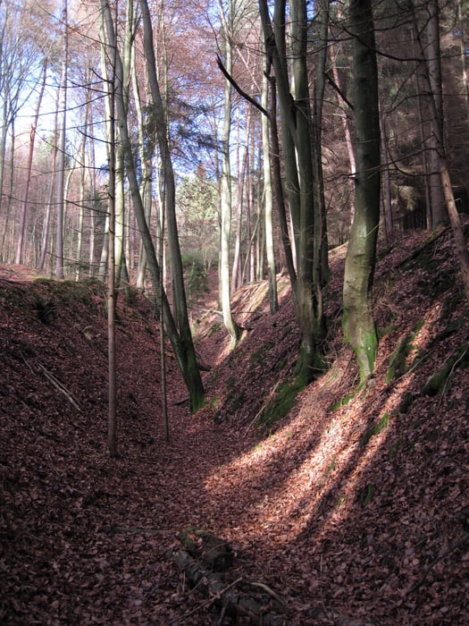
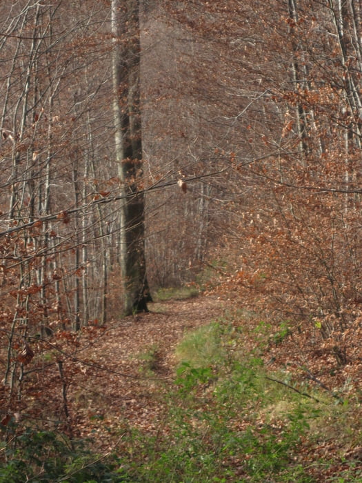
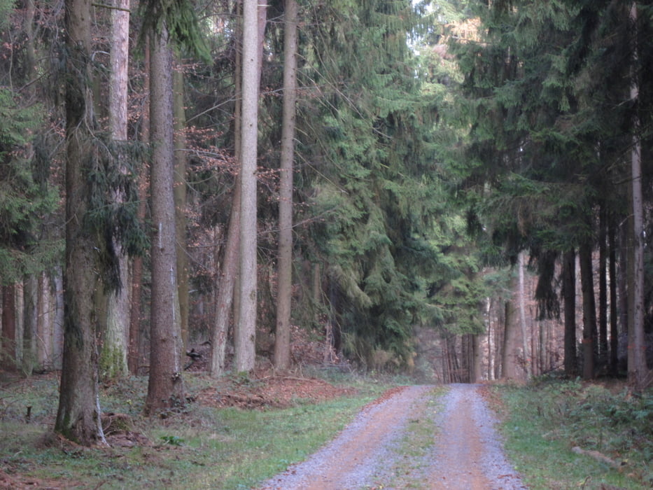
Schöne Wanderung durch den Odenwald bei Obernburg 11/2009 auf den Heubusch und Querberg. Am Anfang ging es quer durch den Wald, dann weiter auf gut sichtbaren Waldwegen. Der erste Anstieg in einer kleinen Rinne sollte nur von einigermaßen sportlichen Wanderern angegangen werden. Dieser ist relativ steil und bei Nässe rutschig!
(Haftungsausschluss: siehe Nutzungsbestimmungen)
Further information at
http://de.wikipedia.org/wiki/Obernburg_am_MainTour gallery
Tour map and elevation profile
Minimum height 170 m
Maximum height 357 m
More about the tour author
|
|
riemchens |
Comments

Obernburg ist auf der B 469 nicht zu verfehlen.
GPS tracks
Trackpoints-
GPX / Garmin Map Source (gpx) download
-
TCX / Garmin Training Center® (tcx) download
-
CRS / Garmin Training Center® (crs) download
-
Google Earth (kml) download
-
G7ToWin (g7t) download
-
TTQV (trk) download
-
Overlay (ovl) download
-
Fugawi (txt) download
-
Kompass (DAV) Track (tk) download
-
Track data sheet (pdf) download
-
Original file of the author (gpx) download
More about the tour author
|
|
riemchens |
Add to my favorites
Remove from my favorites
Edit tags
Open track
My score
Rate