


Hi Biker,
die Tour startet wie so oft in Wachenheim.
Diesmal bin ich jedoch mit den Zug gefahren, da sich Sart und Zielpunkt unterscheiden.
Die Tour verläuft fast nur auf Wirtschaftswegen, da die nassen laubbedeckten Wege derzeit keinen Sinn machen.
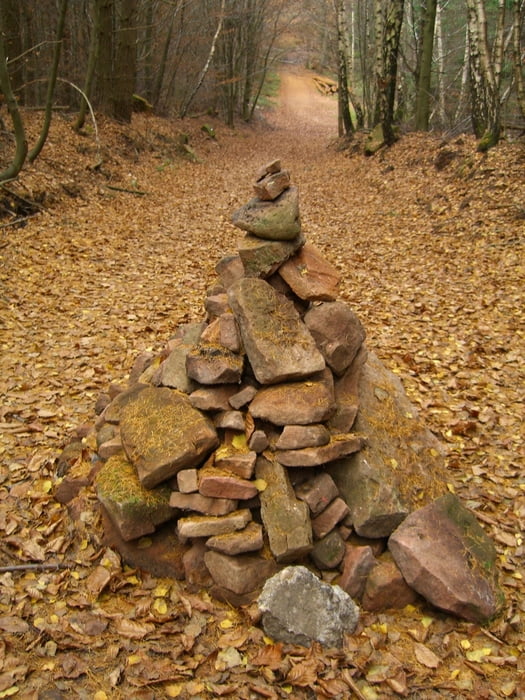
Es geht also los ins "Poppenthal" hinein. nach gut 3km geht es rechts hoch zu "An den drei Eichen".
Weiter geht über die "Dicke Eiche" durchs "Kaisergärtchen" bis nach "Lambertskreuz".
Dann geht es runter ins "Silbertahl" (gekbes-Kreus, Blau-Weißer-Balken)
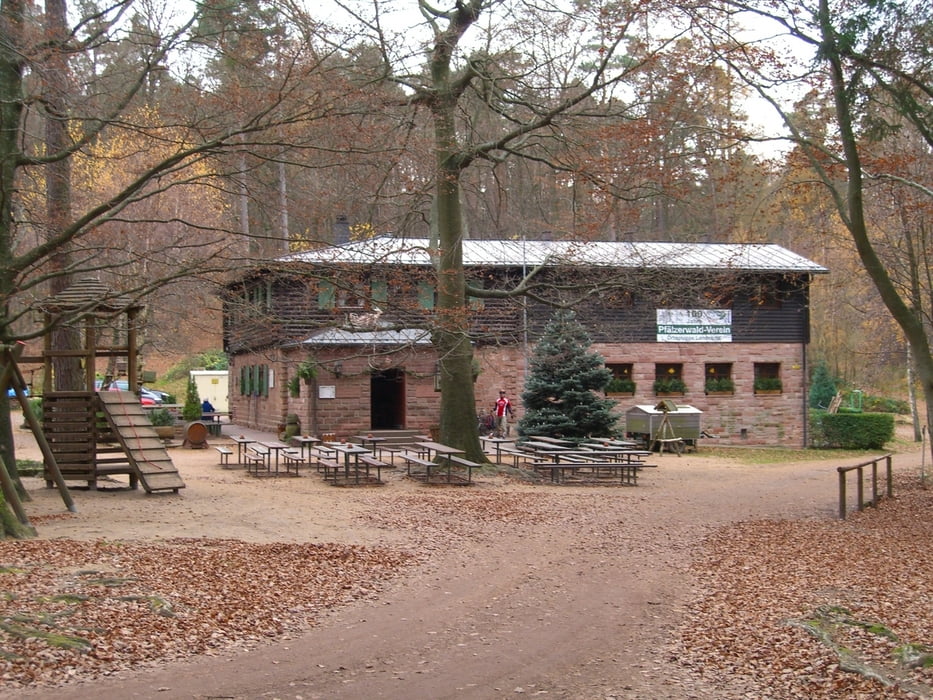
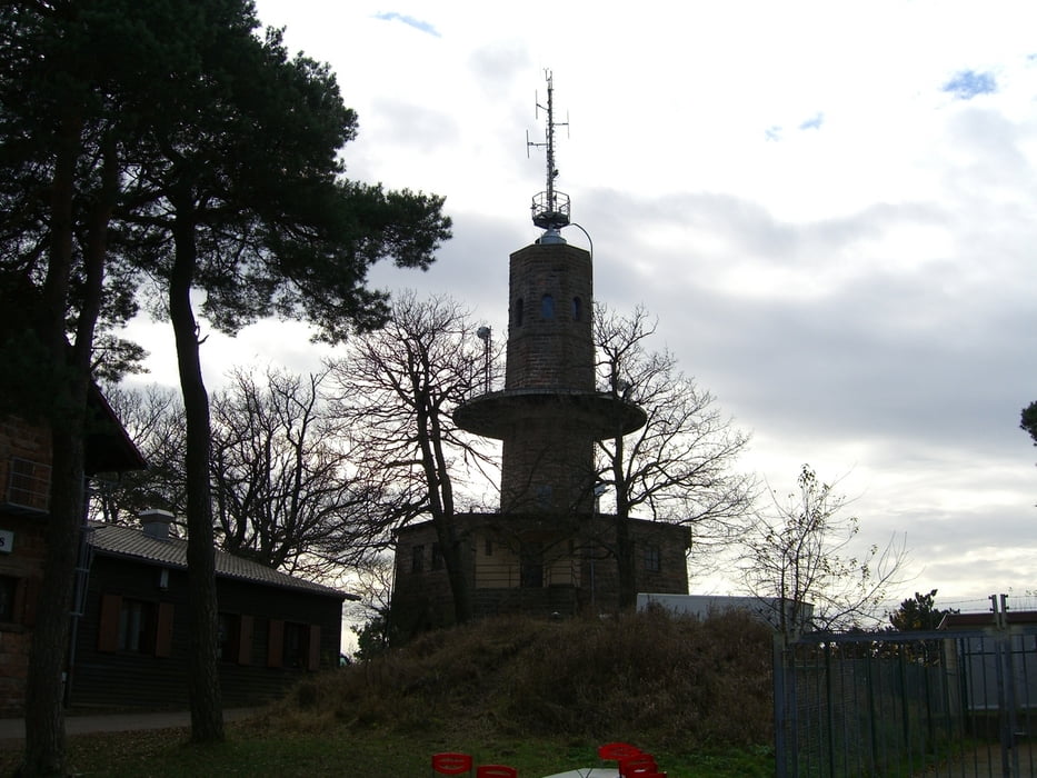
Von dortaus geht es aufs "Weinbiet" hinauf (Weiß-Schwarzerpunkt)
Nun geht es wieder abwärts zur "Wolfsburg" (Roterpunkt)
Den Schloßweg hinunter geht dann direkt bis an den Bahnhof Neustadt.
Viel Spass wünscht
Georg
Further information at
http://www.lambertskreuz.de/Tour gallery

Tour map and elevation profile
Minimum height 142 m
Maximum height 566 m
More about the tour author
|
|
gema75 |
Comments

Anfahrt mit dem Zug nach Wachenheim.
Abfahrt in Neustadt HBF.
GPS tracks
Trackpoints-
GPX / Garmin Map Source (gpx) download
-
TCX / Garmin Training Center® (tcx) download
-
CRS / Garmin Training Center® (crs) download
-
Google Earth (kml) download
-
G7ToWin (g7t) download
-
TTQV (trk) download
-
Overlay (ovl) download
-
Fugawi (txt) download
-
Kompass (DAV) Track (tk) download
-
Track data sheet (pdf) download
-
Original file of the author (gpx) download
More about the tour author
|
|
gema75 |
Add to my favorites
Remove from my favorites
Edit tags
Open track
My score
Rate