


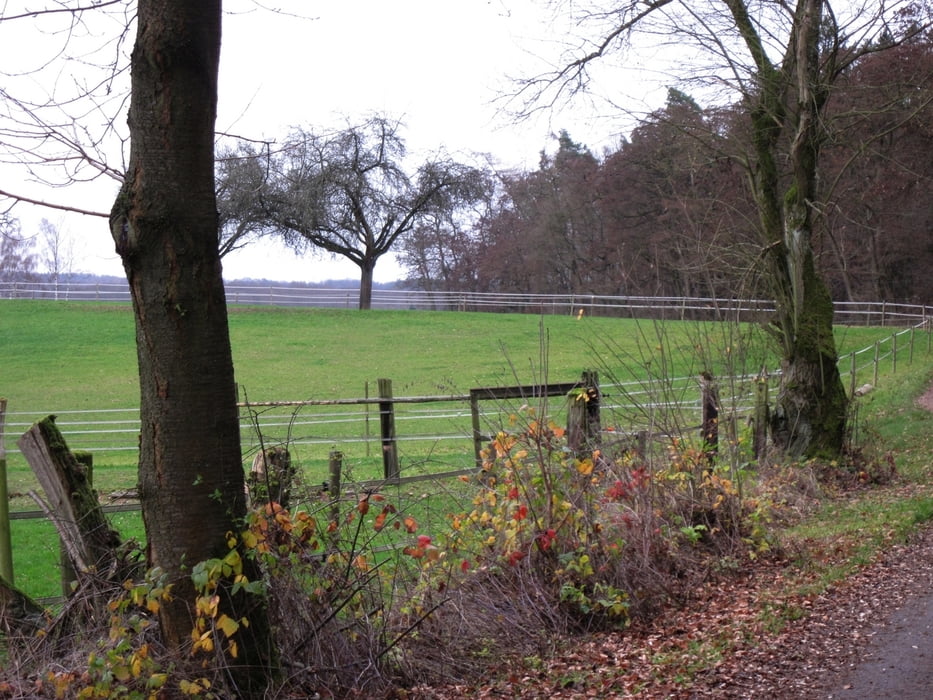
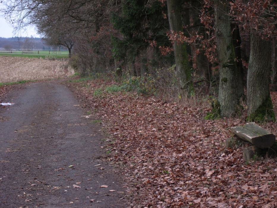
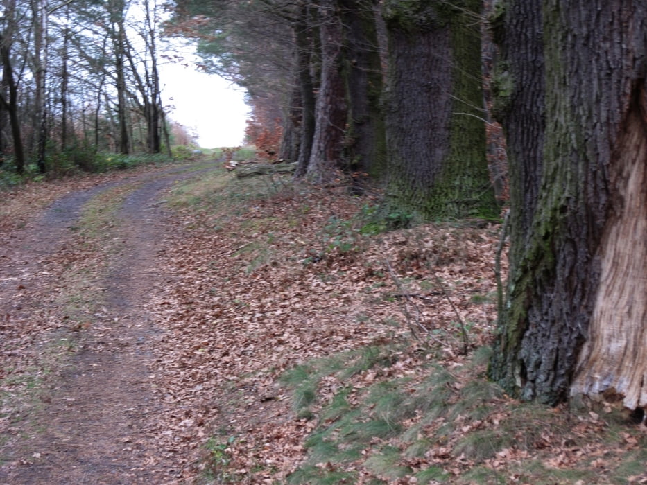
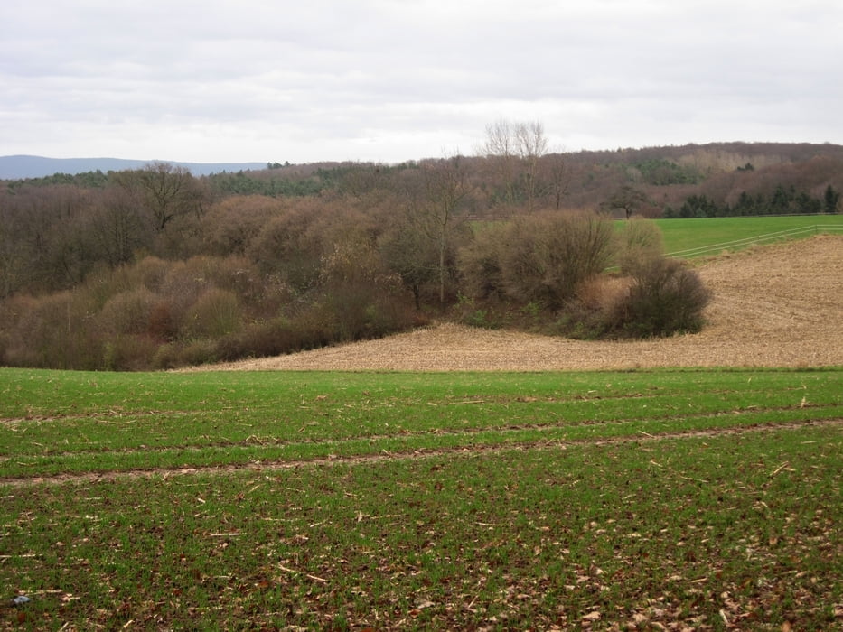
Spaziergang an den nördlichen Ausläufern des Odenwaldes bei Pflaumheim an einem kalten regnerischen Novembertag. Die kleine Wanderung war kein Vergrügen - es war bitter kalt und es regnete. Eigentlich sollte die Tour länger werden.
Further information at
http://de.wikipedia.org/wiki/Gro%C3%9FostheimTour gallery
Tour map and elevation profile
Minimum height 202 m
Maximum height 280 m
More about the tour author
|
|
riemchens |
Comments

Von Großostheim kommend nach Pflaumheim und im Ort links in Richtung Mömmlingen. Nach ca. 1,5 km links auf einen kleinen Waldparkplatz bei den 2 Winterlinden.
GPS tracks
Trackpoints-
GPX / Garmin Map Source (gpx) download
-
TCX / Garmin Training Center® (tcx) download
-
CRS / Garmin Training Center® (crs) download
-
Google Earth (kml) download
-
G7ToWin (g7t) download
-
TTQV (trk) download
-
Overlay (ovl) download
-
Fugawi (txt) download
-
Kompass (DAV) Track (tk) download
-
Track data sheet (pdf) download
-
Original file of the author (gpx) download
More about the tour author
|
|
riemchens |
Add to my favorites
Remove from my favorites
Edit tags
Open track
My score
Rate