


This tour was record with Garmin Colorado 300 and post-worked with Map Source.
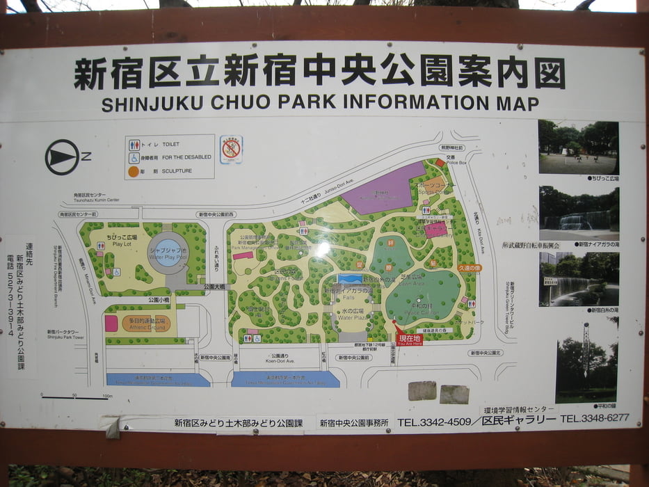
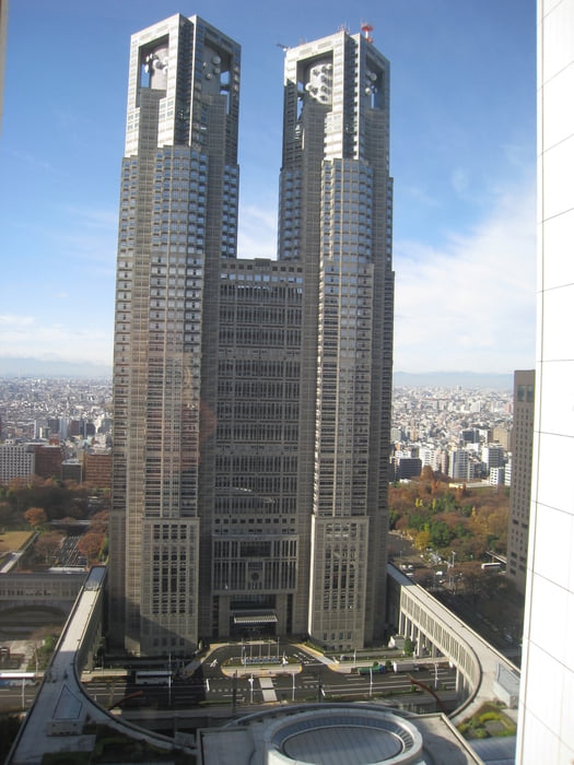
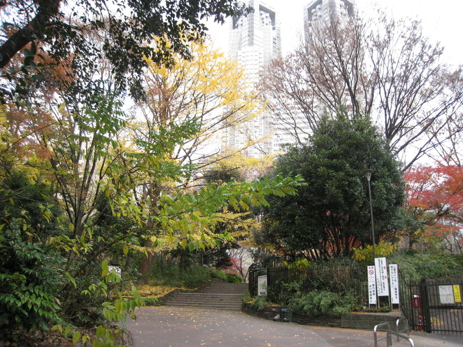
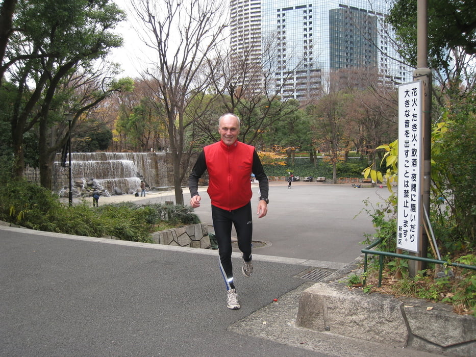
In the Shinjuku area there are many big hotels and a lot of visitors and only a few possibilities to go for running. In the most nice parks with temples running is not allowed – but direct in the center behind the big Tokyo Metropolitan Government-Building is the small Shinjuku Central Park. One outer lap has about 1 km. To make the running more efficient I create this running course with more than 200 stairs 1.8 km and 35 m climbing per lap. The course can be used in both directions and it will be interesting to change it after every lab clockwise and counterclockwise directions. This is a very nice area for running in the middle of the heart of Tokyo.
Have fun at this nice running course.
P.S. Videos clips to my gps-tours of different categories you can find under the attached link in further information. It will guide you to YouTube.
Further information at
http://hvdh.info/Tour gallery
Tour map and elevation profile
Minimum height 524 m
Maximum height 540 m
More about the tour author
|
|
HvdH |
Comments

There are a lot of different possibilities – with train or subway - to go to the biggest station from Tokyo - Shinjuku. Use the west exit and follow the pointed way to the really high Government Building. After a five minutes walk you will find the Shinjuku Central Park direct behind this building.
GPS tracks
Trackpoints-
GPX / Garmin Map Source (gpx) download
-
TCX / Garmin Training Center® (tcx) download
-
CRS / Garmin Training Center® (crs) download
-
Google Earth (kml) download
-
G7ToWin (g7t) download
-
TTQV (trk) download
-
Overlay (ovl) download
-
Fugawi (txt) download
-
Kompass (DAV) Track (tk) download
-
Track data sheet (pdf) download
-
Original file of the author (gpx) download
More about the tour author
|
|
HvdH |
Add to my favorites
Remove from my favorites
Edit tags
Open track
My score
Rate