Login

Forgotten password?

Cookies have to be accepted!
Your browser's cookie functionality is disabled. Please enable this functionality.

Not a member yet?

Register now
Login

Available for registred users only

Log in to use this feature.

Forgotten password?

Cookies have to be accepted!
Your browser's cookie functionality is disabled. Please enable this functionality.

Not a member yet?

Register now
Filter
Categories
Advanced filters
  • Distance (km)
  • Height
Save filters Reset filter

TrackRank

QRCode

Technical data

Distance22,3 km Height457 m Way down450 m Duration02:30 h:m Date25.12.2009
Scores Author Landscape Fun factor Fitness Technique

Statistics

412 Views 1 Score 190 Downloads 5.00 Average
Rate
  • Track data sheet
  • Directions
  • Downloads

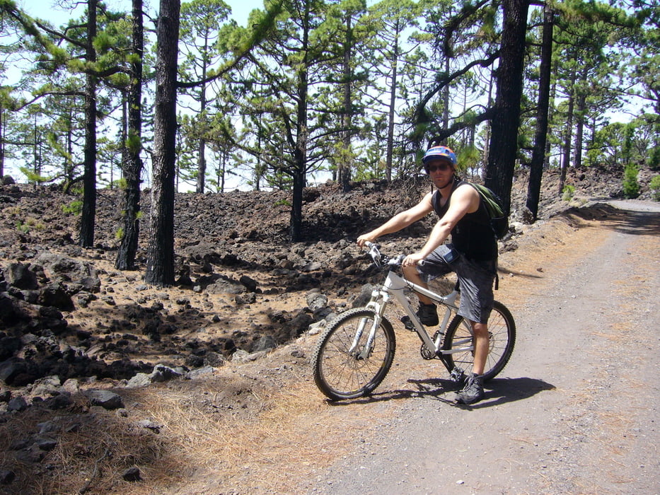
Auch für Anfänger geeignete Tour in schöner Vulkanlandschaft mit einigen kurzen,aber anspruchsvollen Passagen zum Üben.

Tour gallery

Tour map and elevation profile

  • Open Street Map
  • Google
Minimum height 1318 m Maximum height 1683 m Detailed view

More about the tour author

melaniedaniel
Member since 2009

Send private message

Comments

Die TF 38 Richtung Teide fahren und auf dem Rast/Grillplatz "Pinar de Chio"parken. Einstieg zur Tour befindet sich ca. 200 m aufwärts von der TF 38 auf der linken Seite.

GPS tracks

Trackpoints
  • GPX / Garmin Map Source (gpx) download
  • TCX / Garmin Training Center® (tcx) download
  • CRS / Garmin Training Center® (crs) download
  • Google Earth (kml) download
  • G7ToWin (g7t) download
  • TTQV (trk) download
  • Overlay (ovl) download
  • Fugawi (txt) download
  • Kompass (DAV) Track (tk) download
  • Track data sheet (pdf) download
  • Original file of the author (gpx) download

More about the tour author

melaniedaniel
Member since 2009

Send private message
Share track
Add to my favorites
Remove from my favorites
Edit tags
My score
Rate
Track: Jungvulkane_2
Type: Mountain bike
Distance: 22,3 km
Evaluated on:
Duration:
Day(s)
Hour(s)
Minute(s)
Score: Landscape Fun factor Fitness Technique