
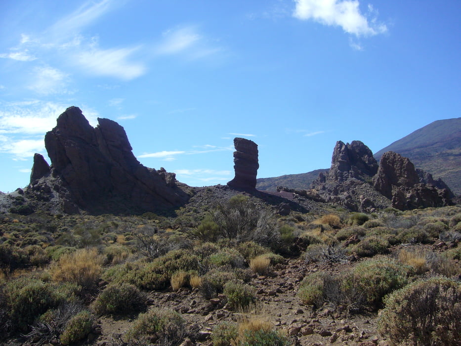

Die Route ist eine der ausgeschilderten Wanderroute, die man im Teide Nationalpark wandern kann. Eine entsprechende Übersichtskarte gibt es im Info-Büro am Teide(täglich nur bis 16:00 geöffnet),diese ist allerdings zum Wandern gänzlich ungeeigenet. Die hier beschriebene Route 3 ist gut ausgeschildert, hat allerdings am Ende einen sehr steilen Anstieg und ist für Leute mit Höhenangst eher nicht geeignet.
Tour gallery


Tour map and elevation profile
Minimum height 2038 m
Maximum height 2188 m
More about the tour author
|
|
melaniedaniel |
Comments

Einstieg zur Tour ist beim "Parador de las Canadas".
GPS tracks
Trackpoints-
GPX / Garmin Map Source (gpx) download
-
TCX / Garmin Training Center® (tcx) download
-
CRS / Garmin Training Center® (crs) download
-
Google Earth (kml) download
-
G7ToWin (g7t) download
-
TTQV (trk) download
-
Overlay (ovl) download
-
Fugawi (txt) download
-
Kompass (DAV) Track (tk) download
-
Track data sheet (pdf) download
-
Original file of the author (gpx) download
More about the tour author
|
|
melaniedaniel |
Add to my favorites
Remove from my favorites
Edit tags
Open track
My score
Rate