Login

Forgotten password?

Cookies have to be accepted!
Your browser's cookie functionality is disabled. Please enable this functionality.

Not a member yet?

Register now
Login

Available for registred users only

Log in to use this feature.

Forgotten password?

Cookies have to be accepted!
Your browser's cookie functionality is disabled. Please enable this functionality.

Not a member yet?

Register now
Filter
Categories
Advanced filters
  • Distance (km)
  • Height
Save filters Reset filter

TrackRank

QRCode

Technical data

Distance49,9 km Height209 m Way down209 m Duration02:30 h:m Date27.12.2009
Scores Author Landscape Fun factor Fitness Technique

Statistics

265 Views Scores 35 Downloads Average
Rate
  • Track data sheet
  • Directions
  • Downloads

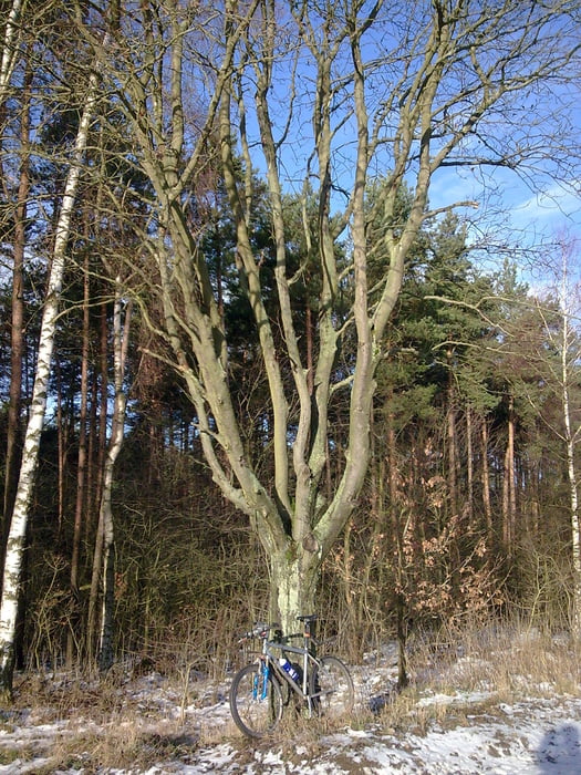
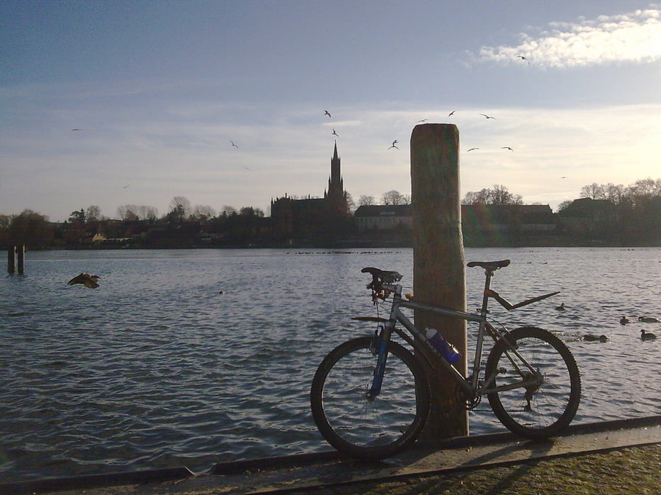
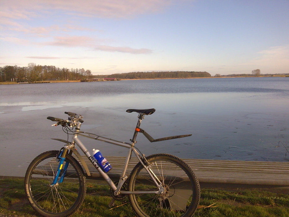
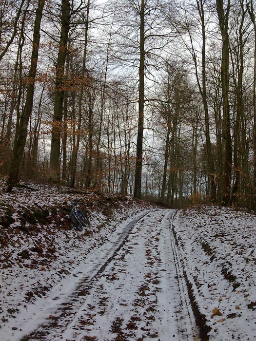
27.12.09 Wintertour um den Plauer See bei -2°C / Mischung aus Teer und Gelände!

Plau am See - Quetzin - Karow Meiler - Alt Schwerin - Malchow - Grüssow - Satow - Bad Stuer - Seeluster Bucht - Plau am See

Further information at

http://www.hegibiketours.de/

Tour gallery

Tour map and elevation profile

  • Open Street Map
  • Google
Minimum height 56 m Maximum height 109 m Detailed view

More about the tour author

hegi
Member since 2007

Send private message

Comments

Start in Plau am See an der B103 auf der Eldebrücke

GPS tracks

Trackpoints
  • GPX / Garmin Map Source (gpx) download
  • TCX / Garmin Training Center® (tcx) download
  • CRS / Garmin Training Center® (crs) download
  • Google Earth (kml) download
  • G7ToWin (g7t) download
  • TTQV (trk) download
  • Overlay (ovl) download
  • Fugawi (txt) download
  • Kompass (DAV) Track (tk) download
  • Track data sheet (pdf) download
  • Original file of the author (gpx) download

More about the tour author

hegi
Member since 2007

Send private message
Share track
Add to my favorites
Remove from my favorites
Edit tags
My score
Rate
Track: Wintertour um den Plauer See
Type: Mountain bike
Distance: 49,9 km
Evaluated on:
Duration:
Day(s)
Hour(s)
Minute(s)
Score: Landscape Fun factor Fitness Technique