Login

Forgotten password?

Cookies have to be accepted!
Your browser's cookie functionality is disabled. Please enable this functionality.

Not a member yet?

Register now
Login

Available for registred users only

Log in to use this feature.

Forgotten password?

Cookies have to be accepted!
Your browser's cookie functionality is disabled. Please enable this functionality.

Not a member yet?

Register now
Filter
Categories
Advanced filters
  • Distance (km)
  • Height
Save filters Reset filter

TrackRank

QRCode

Technical data

Distance12,2 km Height273 m Way down296 m Duration01:20 h:m Date28.12.2009
Scores Author Landscape Fun factor Fitness Technique

Statistics

139 Views Scores 5 Downloads Average
Rate
  • Track data sheet
  • Directions
  • Downloads

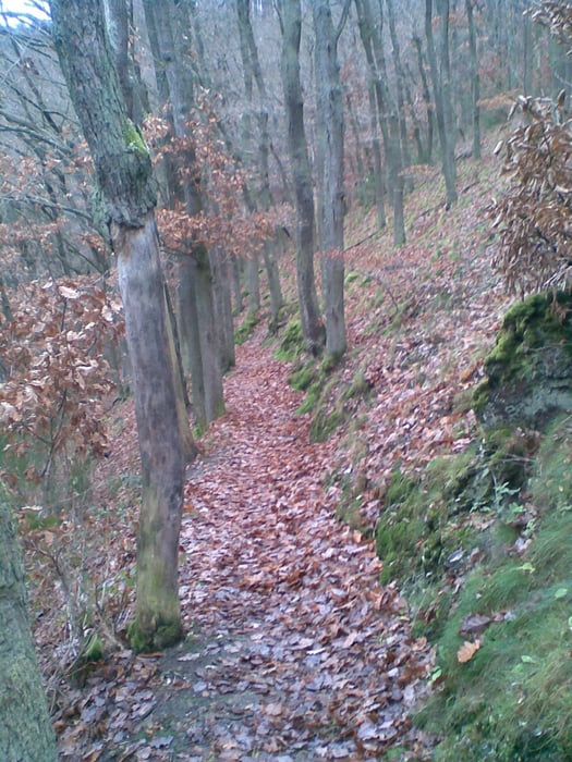
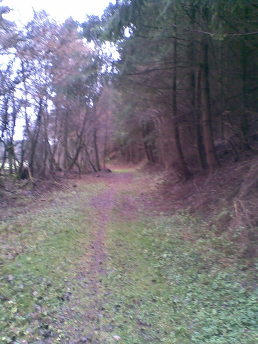
Joggingrunde über die Singletrails des Wartenberg. Dann zum Bundenbacher Sportplatz und über die Höhe ins Näsbachtal. Zurück über den Rentnerweg am Fuße des Wartenberg.


Tour gallery

Tour map and elevation profile

  • Open Street Map
  • Google
Minimum height 307 m Maximum height 444 m Detailed view

More about the tour author

der_Hunsruecker
Member since 2008

Send private message

Comments


 BAB A61 Abfahrt Rheinböllen; B50 bis Flugplatz Hahn folgen, Richtung Rhaunen abbiegen.(ca 30 Min von der BAB)

GPS tracks

Trackpoints
  • GPX / Garmin Map Source (gpx) download
  • TCX / Garmin Training Center® (tcx) download
  • CRS / Garmin Training Center® (crs) download
  • Google Earth (kml) download
  • G7ToWin (g7t) download
  • TTQV (trk) download
  • Overlay (ovl) download
  • Fugawi (txt) download
  • Kompass (DAV) Track (tk) download
  • Track data sheet (pdf) download
  • Original file of the author (gpx) download

More about the tour author

der_Hunsruecker
Member since 2008

Send private message
Share track
Add to my favorites
Remove from my favorites
Edit tags
My score
Rate
Track: große Wartenbergrunde
Type: Running
Distance: 12,2 km
Evaluated on:
Duration:
Day(s)
Hour(s)
Minute(s)
Score: Landscape Fun factor Fitness Technique