Login

Forgotten password?

Cookies have to be accepted!
Your browser's cookie functionality is disabled. Please enable this functionality.

Not a member yet?

Register now
Login

Available for registred users only

Log in to use this feature.

Forgotten password?

Cookies have to be accepted!
Your browser's cookie functionality is disabled. Please enable this functionality.

Not a member yet?

Register now
Filter
Categories
Advanced filters
  • Distance (km)
  • Height
Save filters Reset filter

TrackRank

QRCode

Technical data

Distance29,4 km Height396 m Way down395 m Duration02:00 h:m Date28.12.2009
Scores Author Landscape Fun factor Fitness Technique

Statistics

872 Views Scores 110 Downloads Average
Rate
  • Track data sheet
  • Directions
  • Downloads

Schöne Winterrunde über die Halde, danach durch den Grafenwald und über den Rotbach wieder nach Grafnmühle und zur Halde zurück.


War leider heute etwas matschig, deswegen auch sehr empfehlenswert als Nightride!
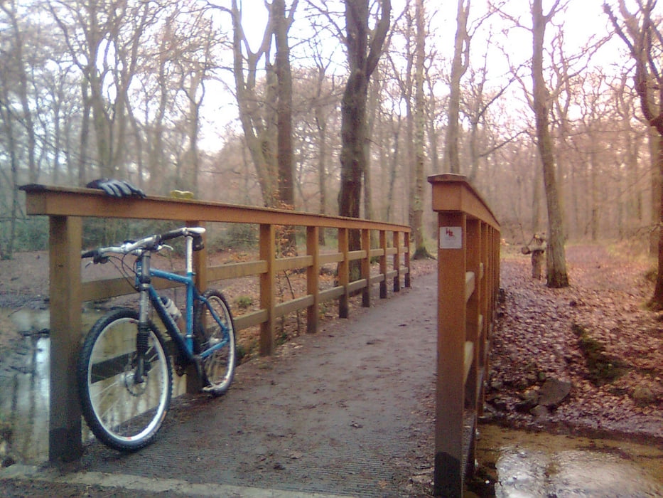
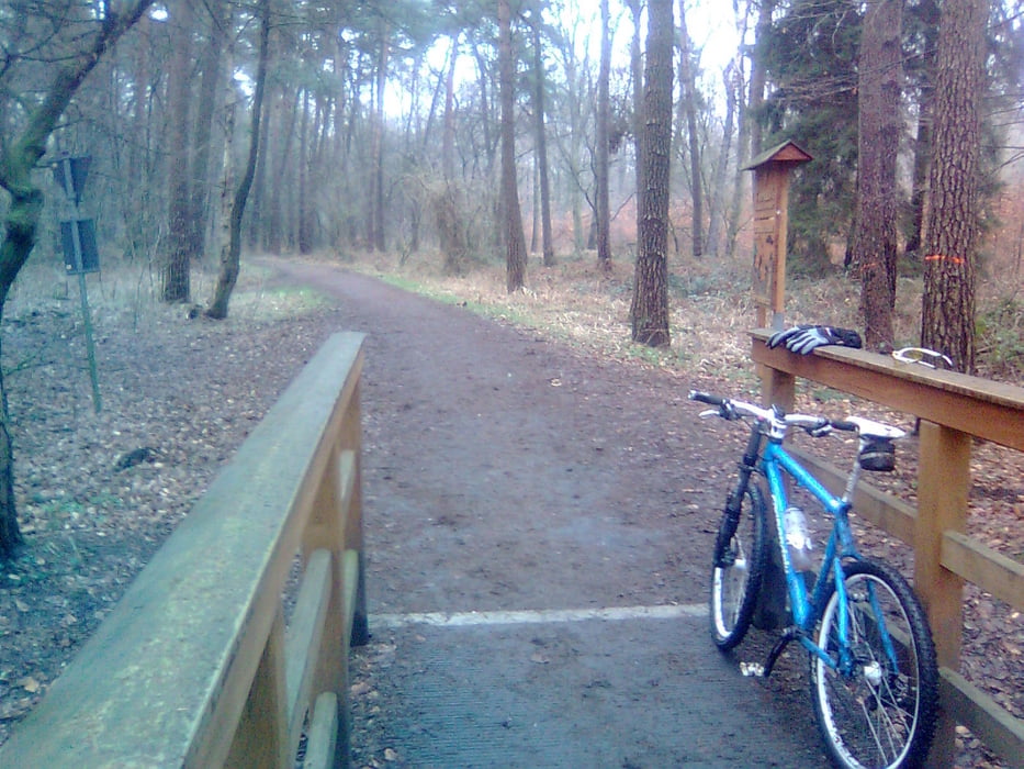
Tour gallery

Tour map and elevation profile

  • Open Street Map
  • Google
Minimum height 43 m Maximum height 193 m Detailed view

More about the tour author

buggi
Member since 2008

Send private message

Comments

Am besten von der Brücke an der Halde (Kreuzweg) fahrbar.

GPS tracks

Trackpoints
  • GPX / Garmin Map Source (gpx) download
  • TCX / Garmin Training Center® (tcx) download
  • CRS / Garmin Training Center® (crs) download
  • Google Earth (kml) download
  • G7ToWin (g7t) download
  • TTQV (trk) download
  • Overlay (ovl) download
  • Fugawi (txt) download
  • Kompass (DAV) Track (tk) download
  • Track data sheet (pdf) download
  • Original file of the author (gpx) download

More about the tour author

buggi
Member since 2008

Send private message
Share track
Add to my favorites
Remove from my favorites
Edit tags
My score
Rate
Track: Too much Matsch!
Type: Mountain bike
Distance: 29,4 km
Evaluated on:
Duration:
Day(s)
Hour(s)
Minute(s)
Score: Landscape Fun factor Fitness Technique