


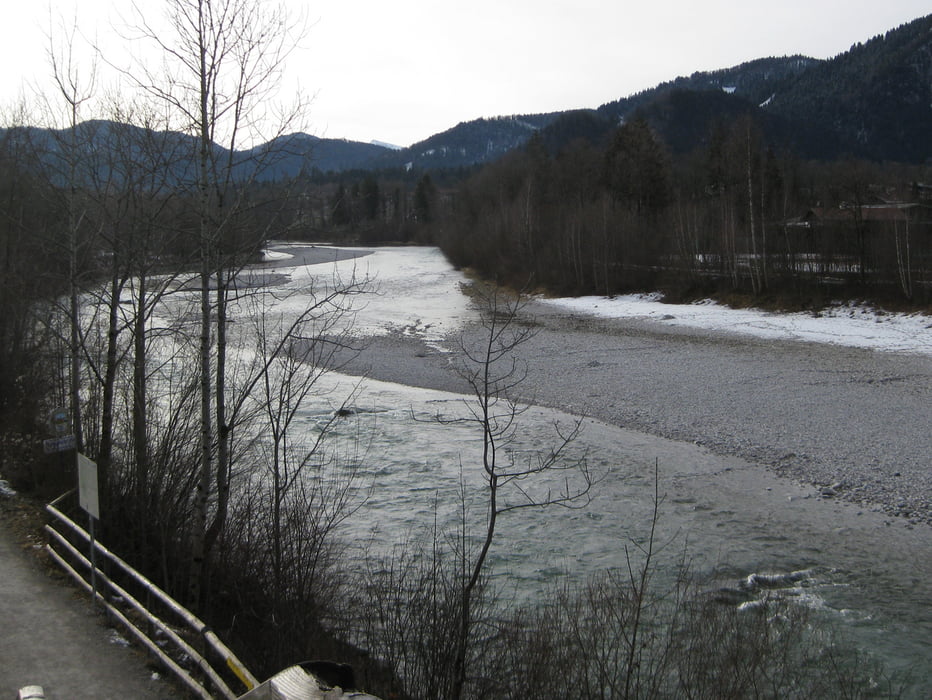
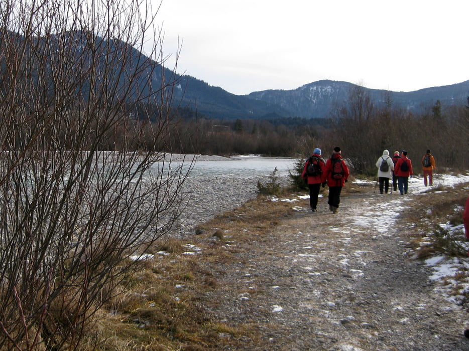
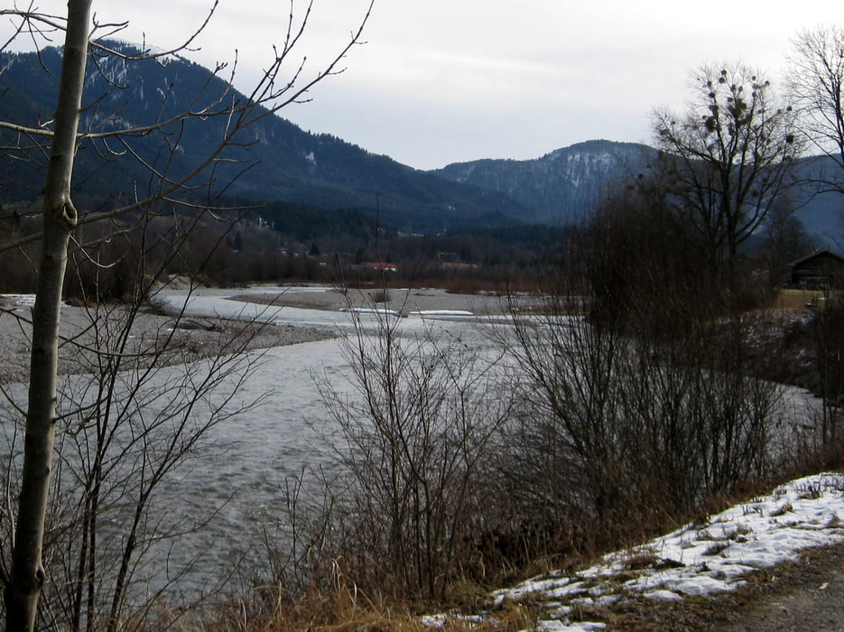
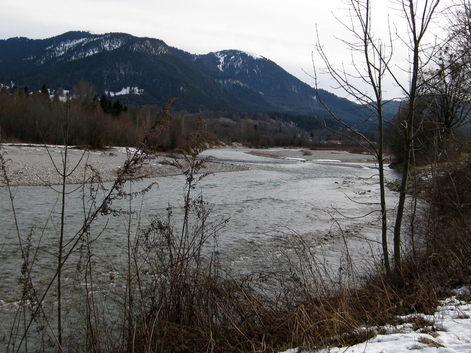
Vom Bahnhof in Lenggries aus gehen wir auf der Schützenstraße nordwärts bis wir auf die Isarstraße treffen. Wir queren die Isar, und gleich hinter der Brücke führt uns eine Stiege links hinunter ans Isarufer. Wir wandern etwa 5 km Isar aufwärts bis wir in Langeneck auf die Jachenauerstraße kommen. Von hier aus gehen wir wieder zu unserem Ausgangspunkt zuück.
Tour gallery
Tour map and elevation profile
Minimum height 661 m
Maximum height 731 m
More about the tour author

|
frank_guenther |
Comments

Startpunkt der Wanderung ist der BOB-Bahnhof in Lenggries (Schützenstraße).
GPS tracks
Trackpoints-
GPX / Garmin Map Source (gpx) download
-
TCX / Garmin Training Center® (tcx) download
-
CRS / Garmin Training Center® (crs) download
-
Google Earth (kml) download
-
G7ToWin (g7t) download
-
TTQV (trk) download
-
Overlay (ovl) download
-
Fugawi (txt) download
-
Kompass (DAV) Track (tk) download
-
Track data sheet (pdf) download
-
Original file of the author (gpx) download
More about the tour author
|
|
frank_guenther |
Add to my favorites
Remove from my favorites
Edit tags
Open track
My score
Rate