Login

Forgotten password?

Cookies have to be accepted!
Your browser's cookie functionality is disabled. Please enable this functionality.

Not a member yet?

Register now
Login

Available for registred users only

Log in to use this feature.

Forgotten password?

Cookies have to be accepted!
Your browser's cookie functionality is disabled. Please enable this functionality.

Not a member yet?

Register now
Filter
Categories
Advanced filters
  • Distance (km)
  • Height
Save filters Reset filter

TrackRank

QRCode

Technical data

Distance2.327,2 km Height23977 m Way down23986 m Duration12:00 h:m Date27.08.2006
Scores Author Landscape Fun factor Fitness Technique

Statistics

6758 Views Scores 823 Downloads Average
Rate
  • Track data sheet
  • Directions
  • Downloads
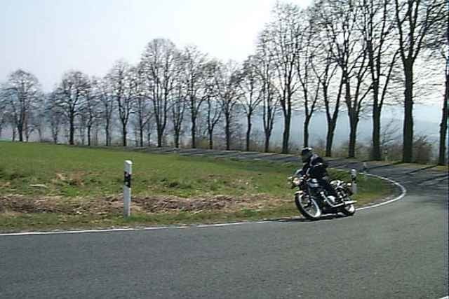
Tagestour durchs Weserbergland

Further information at

http://www.moped-tour.info

Tour gallery

Tour map and elevation profile

  • Open Street Map
  • Google
Minimum height 33 m Maximum height 536 m Detailed view

More about the tour author

hum
Member since 2006

Send private message

Comments

dididerbaer on 26.09.2008

wenig hilfreich ;-)
dididerbaer on 26.09.2008

wenig hilfreich ;-)
Von Oldenburg bis Nettelstedt keine Kurve, aber dann...

GPS tracks

Trackpoints
  • GPX / Garmin Map Source (gpx) download
  • TCX / Garmin Training Center® (tcx) download
  • CRS / Garmin Training Center® (crs) download
  • Google Earth (kml) download
  • G7ToWin (g7t) download
  • TTQV (trk) download
  • Overlay (ovl) download
  • Fugawi (txt) download
  • Kompass (DAV) Track (tk) download
  • Track data sheet (pdf) download
  • Original file of the author (gpx) download

More about the tour author

hum
Member since 2006

Send private message
Share track
Add to my favorites
Remove from my favorites
Edit tags
My score
Rate
Track: Weserbergland
Type: Motorcycles
Distance: 2.327,2 km
Evaluated on:
Duration:
Day(s)
Hour(s)
Minute(s)
Score: Landscape Fun factor Fitness Technique