


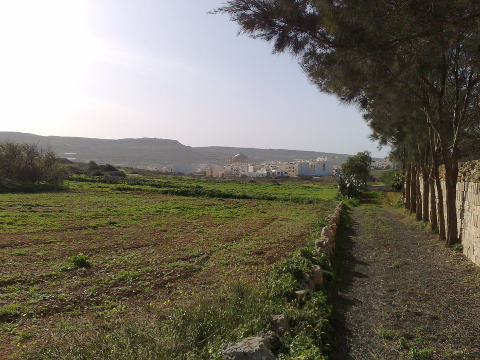
This tour is ideal if your hotel lyes somewhere in the north shore of the island. It is not difficult and 33% of the route you go upwards, 33% you go downwards and the rest it is flat. You drive partially along the country roads, but there´s not much traffic, except along the highway.
Mdina is a very beautiful city, within defensive walls, but believe it or not, it has around 500 inhabitants, most of them great grandchildren and great great grandchildren of people belonging to the nobility or whealthy persons. The poor people live in Rabat.
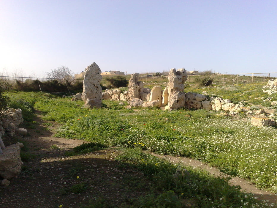
I made this tour kind of a cultural one, since I drove to archeological sites and to Mdina as final destination. Unfortunately, the "temples" Skorba and Ta Hagrat are nowadays nothing else but a couple of rocks. Time and men are guilty for destruction of this antique sites. There´s not much information about what people built the temples. Visiting it is not possible, since a fence protects the sites.
Be aware that some sections of the tour go up much in a short distance, so good condition is a must.
Tour gallery


Tour map and elevation profile
Minimum height 41 m
Maximum height 231 m
More about the tour author

|
alonso100 |
Comments

GPS tracks
Trackpoints-
GPX / Garmin Map Source (gpx) download
-
TCX / Garmin Training Center® (tcx) download
-
CRS / Garmin Training Center® (crs) download
-
Google Earth (kml) download
-
G7ToWin (g7t) download
-
TTQV (trk) download
-
Overlay (ovl) download
-
Fugawi (txt) download
-
Kompass (DAV) Track (tk) download
-
Track data sheet (pdf) download
-
Original file of the author (gpx) download
More about the tour author
|
|
alonso100 |
Add to my favorites
Remove from my favorites
Edit tags
Open track
My score
Rate