


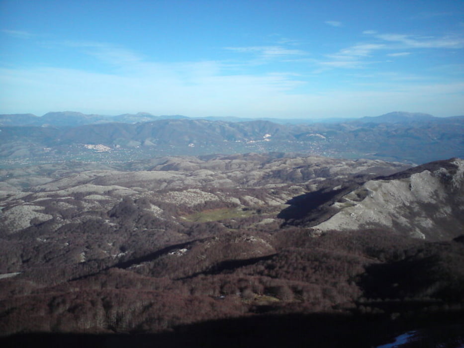
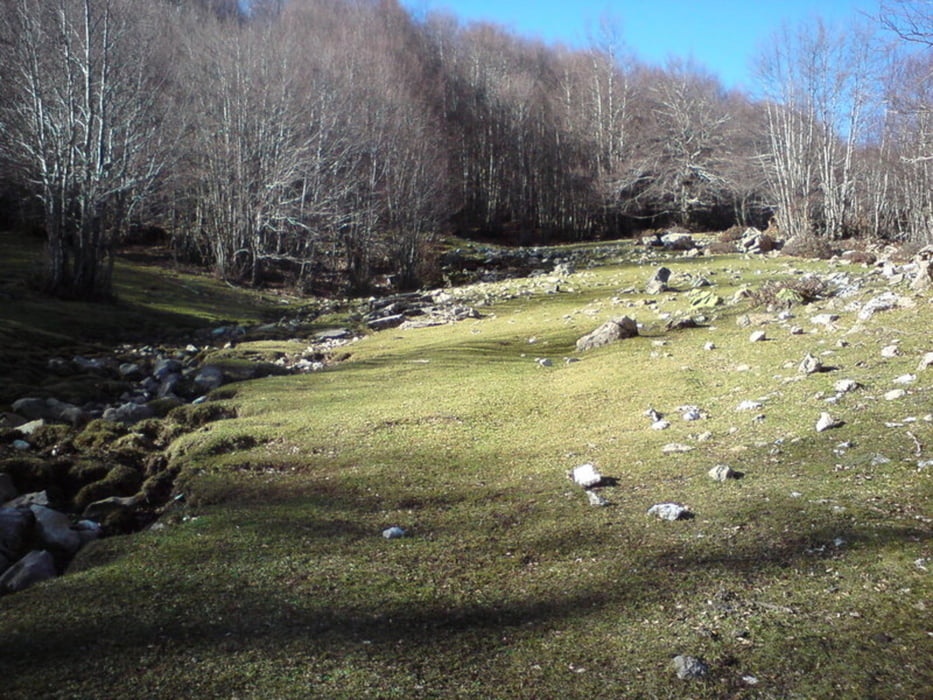
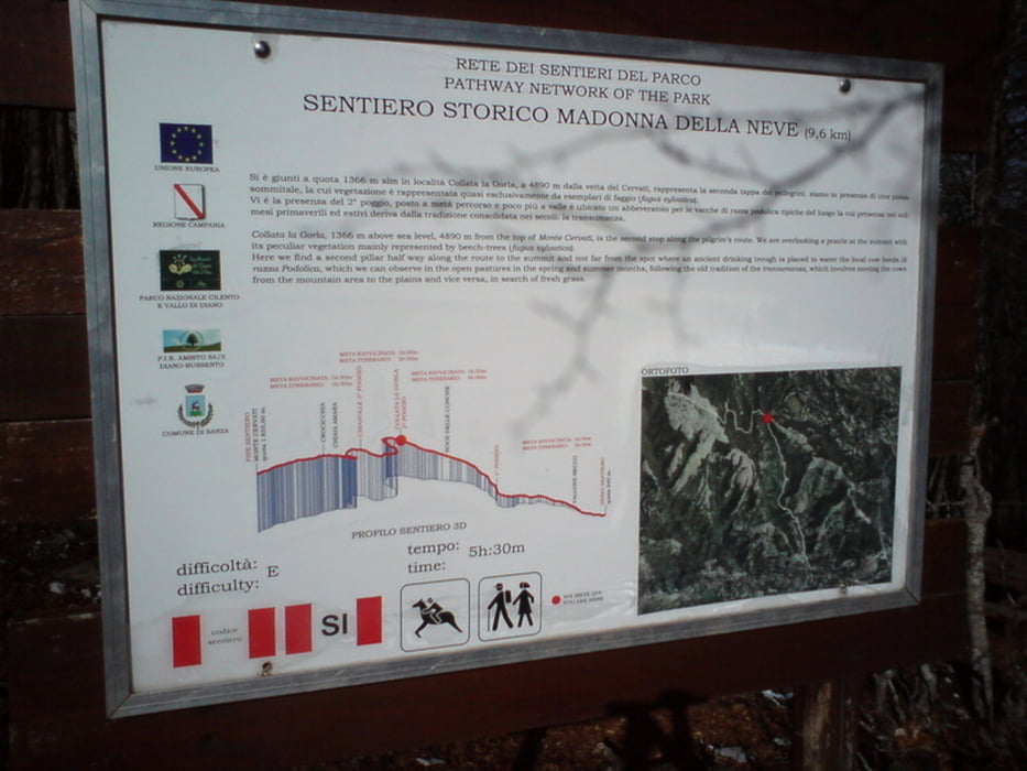
Sehr schöne Wanderung auf den Monte Cervati, den höchsten Berg der Region. Der Track folgt der ausgeschilderten Wanderroute. Die Strecke verläuft anfangs durch dicht bewaldetes Gebiet, später über kleine Lichtungen, Wiesen und felsige Abschnitte. Zum Schluss geht es dann über Geröllfelder und Felsen bis zum Gipfel. Von hieraus bietet sich ein sensationeller Ausblick von der Küste bis ins Landesinnere.
Further information at
http://de.wikipedia.org/wiki/CilentoTour gallery

Tour map and elevation profile
Minimum height 645 m
Maximum height 1885 m
More about the tour author
|
|
tillb |
Comments

Anreise über die SS517 nach Sanza. Knapp einen Kilometer westlich führt eine anfangs asphaltierte Straße bis zum Startpunkt des Tracks.
GPS tracks
Trackpoints-
GPX / Garmin Map Source (gpx) download
-
TCX / Garmin Training Center® (tcx) download
-
CRS / Garmin Training Center® (crs) download
-
Google Earth (kml) download
-
G7ToWin (g7t) download
-
TTQV (trk) download
-
Overlay (ovl) download
-
Fugawi (txt) download
-
Kompass (DAV) Track (tk) download
-
Track data sheet (pdf) download
-
Original file of the author (gpx) download
More about the tour author
|
|
tillb |
Add to my favorites
Remove from my favorites
Edit tags
Open track
My score
Rate