

2-Tage Wintertour
von Heidelberg über Weisser Stein> Wilhelmsfeld>Kohlhof>Bärsbach>Hilsenhain>Unterabtsteinach
>Siedelsbrunn>Kreidacher-Höhe/Wald-Michelbach, ca 30km, ca. 7 Std (Übernachtung im Hotel Kreidacher Höhe, www.kreidacher-hoehe.de, ca 50.-- Eur/Person)
Heidelberg> Wilhelmsfeld (Pause in Wilhelmsfeld/Kohlhof- Naturfeundehaus, ca halbe Strecke)
dann zurück über
Waldmichelbach>Schönbrunn>Heiligkreuzsteinach>Wilhelmsfeld>Weisser Stein>Heidelberg (ca 30km) Pause in Wilhelmsfeld Cafe Talblick, wieder ca. 1/2 Strecke
Optionen:
Option 1 für den Hinweg:
Einstie5g in Wilhelmsfeld, dann sind es ca. 17km, ca. 4 Std nach Kreidacher Höhe (Bus von HD Linie 34 über Ziegelhausen/Peterstal
Option 2 für den Rückweg:
entweder bis Heiligkreuzsteinach ( von Kreidacher Höhe) ca. 15km über Schönbrunn, (Schönbrunn Einkehrmöglichkeit) oder bis Wilhelmsfeld, ca 23km zurück jeweils mit Linie 34
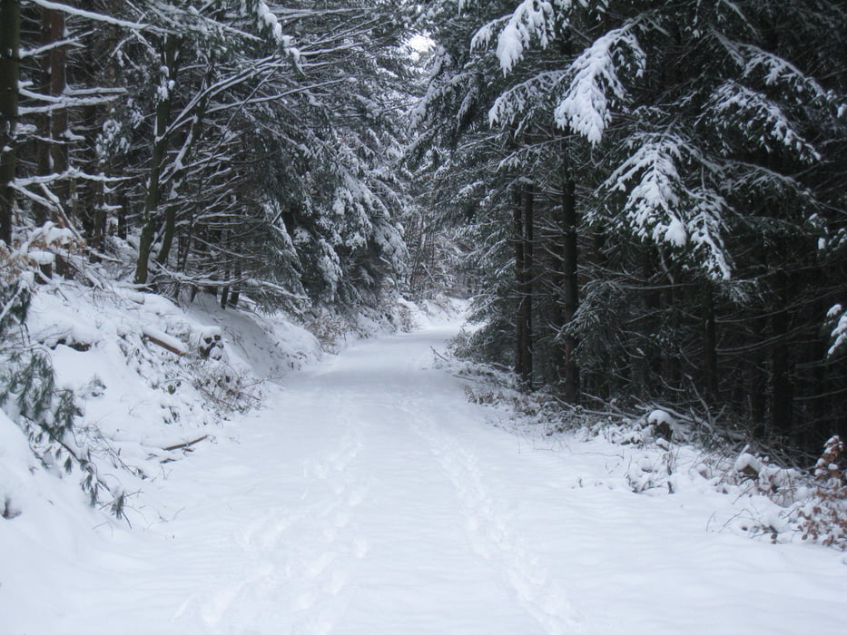
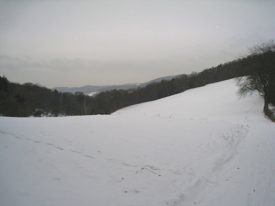
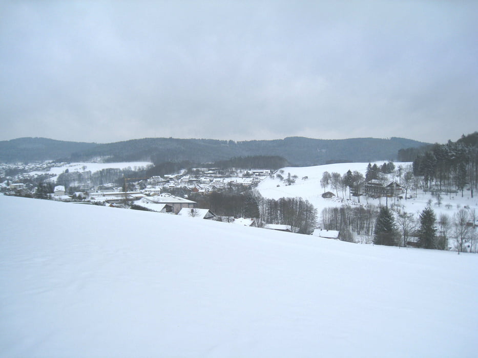
Tour gallery


Tour map and elevation profile
Minimum height 94 m
Maximum height 544 m
More about the tour author
|
|
wernermohr |
Comments

GPS tracks
Trackpoints-
GPX / Garmin Map Source (gpx) download
-
TCX / Garmin Training Center® (tcx) download
-
CRS / Garmin Training Center® (crs) download
-
Google Earth (kml) download
-
G7ToWin (g7t) download
-
TTQV (trk) download
-
Overlay (ovl) download
-
Fugawi (txt) download
-
Kompass (DAV) Track (tk) download
-
Track data sheet (pdf) download
-
Original file of the author (gpx) download
More about the tour author
|
|
wernermohr |
Add to my favorites
Remove from my favorites
Edit tags
Open track
My score
Rate