Login

Forgotten password?

Cookies have to be accepted!
Your browser's cookie functionality is disabled. Please enable this functionality.

Not a member yet?

Register now
Login

Available for registred users only

Log in to use this feature.

Forgotten password?

Cookies have to be accepted!
Your browser's cookie functionality is disabled. Please enable this functionality.

Not a member yet?

Register now
Filter
Categories
Advanced filters
  • Distance (km)
  • Height
Save filters Reset filter

TrackRank

QRCode

Technical data

Distance66,4 km Height379 m Way down381 m Duration04:30 h:m Date10.01.2010
Scores Author Landscape Fun factor Fitness Technique

Statistics

299 Views Scores 54 Downloads Average
Rate
  • Track data sheet
  • Directions
  • Downloads

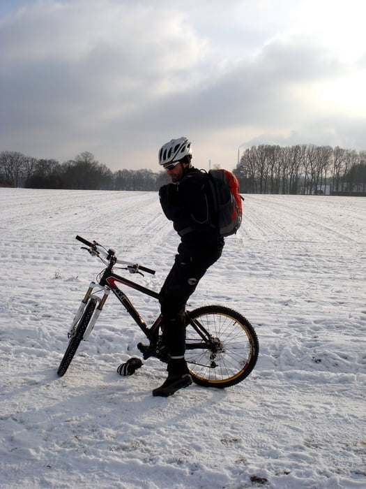
Tour von Gladbeck über die Haard nach Haltern und über Lipper Höhe wieder zurück.

Das Ganze bei viel Schnee!!!

Tour gallery

Tour map and elevation profile

  • Open Street Map
  • Google
Minimum height 24 m Maximum height 89 m Detailed view

More about the tour author

tottreter
Member since 2006

Send private message

Comments

GrafLoverich on 11.01.2010

Helm ab und Gratulation
dass Du dich rausgetraut hast.
ich wollte auch fahren aber meine Frau hat mich statt
Radfahren mit dem Hund rausgeschickt.

GPS tracks

Trackpoints
  • GPX / Garmin Map Source (gpx) download
  • TCX / Garmin Training Center® (tcx) download
  • CRS / Garmin Training Center® (crs) download
  • Google Earth (kml) download
  • G7ToWin (g7t) download
  • TTQV (trk) download
  • Overlay (ovl) download
  • Fugawi (txt) download
  • Kompass (DAV) Track (tk) download
  • Track data sheet (pdf) download
  • Original file of the author (gpx) download

More about the tour author

tottreter
Member since 2006

Send private message
Share track
Add to my favorites
Remove from my favorites
Edit tags
My score
Rate
Track: Tief Daisy
Type: Mountain bike
Distance: 66,4 km
Evaluated on:
Duration:
Day(s)
Hour(s)
Minute(s)
Score: Landscape Fun factor Fitness Technique