

Aufstieg: 2 Stunden 55 Minuten
Abfahrt: 55 Minuten
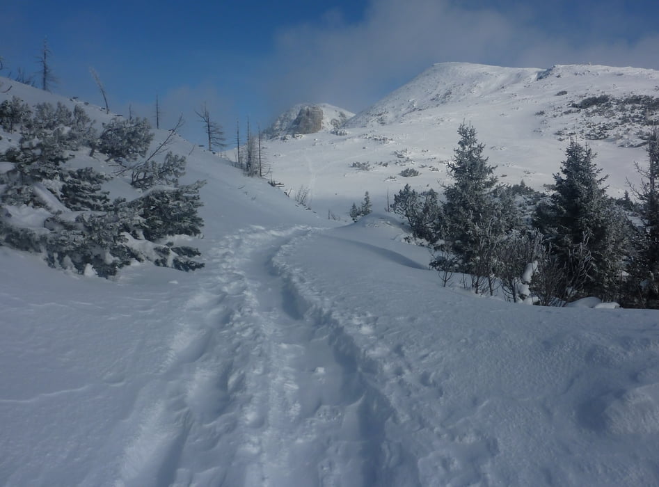
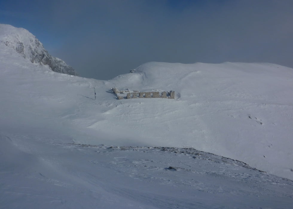
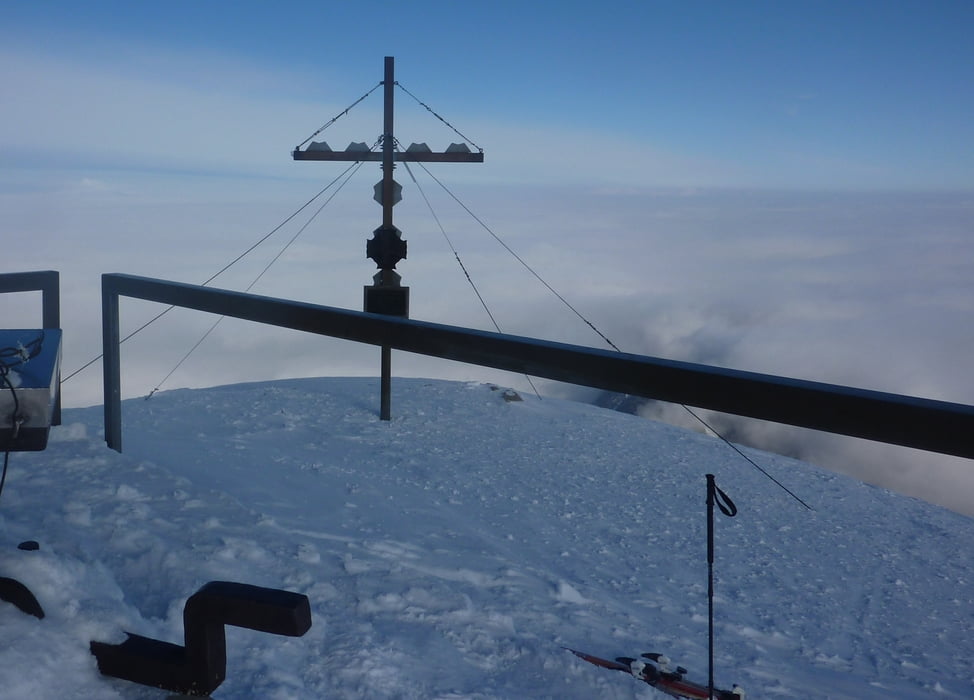
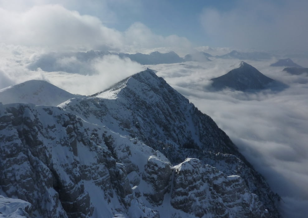
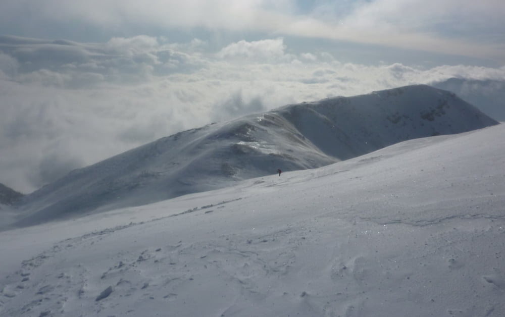
AUFSTIEG: Vom Schaidasattel den Forstweg entlang ( bei viel Schnee ev. auch gelb beschilderte Abkürzungen nehmen), bis nach 1:35h oder ca. 630 hm die Route in den Wald hinauf führt (vorher auch schon Möglichkeiten, ebenfalls nur bei viel Schnee). Weiter leicht nach rechts aufsteigen (markierter Weg) bis zum Grat, von wo der Gipfel schon sichtbar ist. Vor dem Grat nach rechts, die Anhöhe rechts umgehen und in eine Scharte kurz abfahren. Weiter am Grat entlang ( Ausstieg aus der Gipfelrinne, Beschilderung) und in einem Rechtsbogen zum Gipfel.
ABFAHRT: Wie Aufstieg, bei viel Schnee Abfahrt durch die steilen Rinnen am Forstweg möglich.
Tour gallery
Tour map and elevation profile
Minimum height 1031 m
Maximum height 2150 m
More about the tour author
|
|
harald07071 |
Comments

Von Klagenfurt Richtung Ferlach --> Zell Pfarre--> Schaidasattel (1068m)
GPS tracks
Trackpoints-
GPX / Garmin Map Source (gpx) download
-
TCX / Garmin Training Center® (tcx) download
-
CRS / Garmin Training Center® (crs) download
-
Google Earth (kml) download
-
G7ToWin (g7t) download
-
TTQV (trk) download
-
Overlay (ovl) download
-
Fugawi (txt) download
-
Kompass (DAV) Track (tk) download
-
Track data sheet (pdf) download
-
Original file of the author (gpx) download
More about the tour author
|
|
harald07071 |
Add to my favorites
Remove from my favorites
Edit tags
Open track
My score
Rate