

Anfahrt
Anfahrt von Waidhofen/Ybbs Richtung Gaflenz, nach ca. 500m rechts in die Redtenbachstr. einbiegen. Von dort nach 1 km einen geeigneten Parkplatz entlang der Straße suchen.
Ich bin hier zwei Varianten gegangen, welche immer die gleiche Abfahrt haben:
Varianate 1
immer gerade hoch bis zum höchsten Punkt.
Aufstieg ca. 1 Std.
Variante 2
Welche mehr Ausdauer haben, können den weiteren Weg wählen. Verläuft das 1. Drittel gleich wie Variante 1. Geht aber nach der Überquerung der Straße in eine andere Richtung, tw. durch Wald und Forststraßen, rund um den Schnabelberg und führt dann zum höchsten Punkt.
Aufstieg ca. 1,5 Std.
Abfahrt
Die Abfahrt ist auch bei viel Schnee schön, da die Hänge ziemlich steil sind.
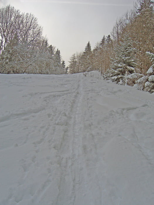
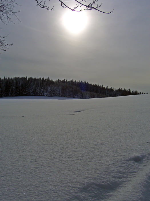
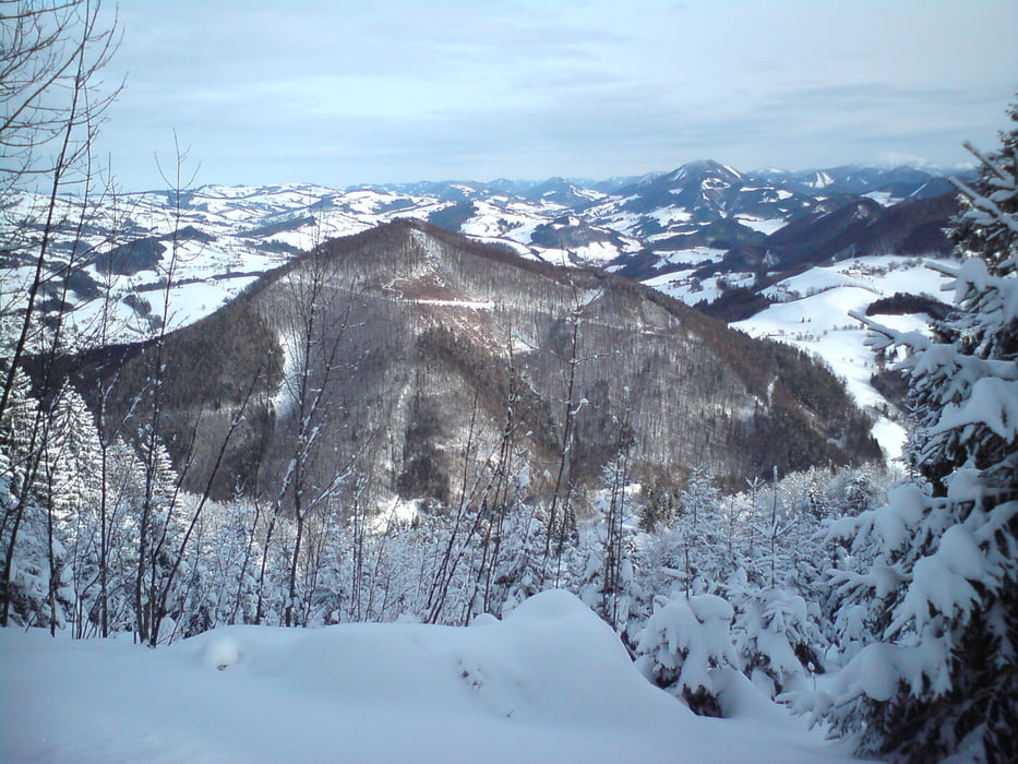
Tour gallery
Tour map and elevation profile
Minimum height 374 m
Maximum height 971 m
More about the tour author
|
|
schoyswo |
Comments

GPS tracks
Trackpoints-
GPX / Garmin Map Source (gpx) download
-
TCX / Garmin Training Center® (tcx) download
-
CRS / Garmin Training Center® (crs) download
-
Google Earth (kml) download
-
G7ToWin (g7t) download
-
TTQV (trk) download
-
Overlay (ovl) download
-
Fugawi (txt) download
-
Kompass (DAV) Track (tk) download
-
Track data sheet (pdf) download
-
Original file of the author (gpx) download
More about the tour author
|
|
schoyswo |
Add to my favorites
Remove from my favorites
Edit tags
Open track
My score
Rate