


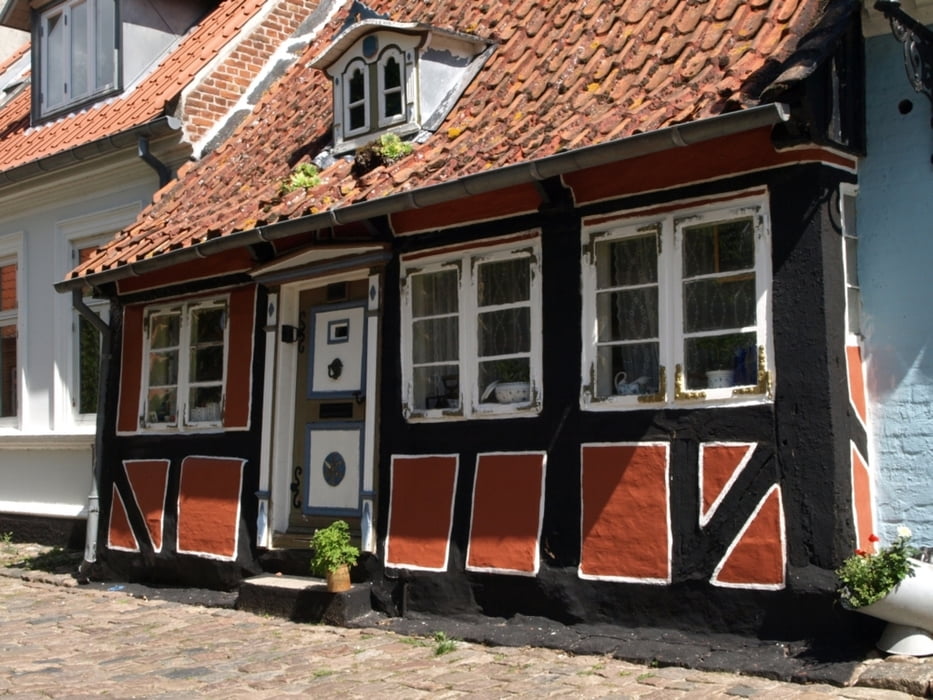
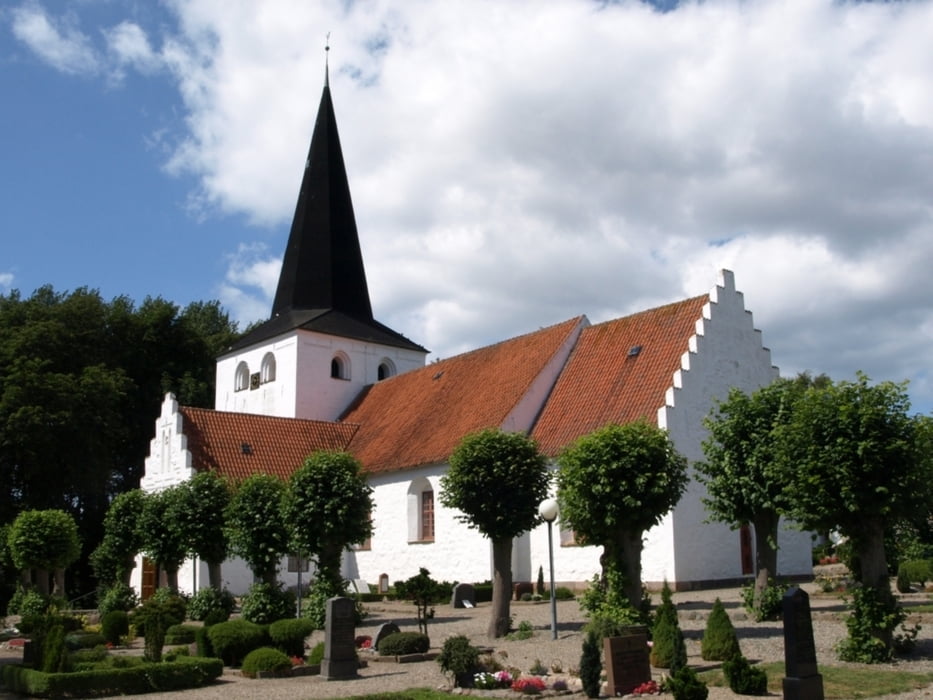
The tour starts at the ferry terminal of Ærøskøbing and follows along small country roads and through little villages over the eastern part of the island to Marstal. In Bregninge you may wish to visit the church with paintings from around 1510 or take a break in the nice café Den Grønne Gren where a smell of newly baked bread and coffee is always in the air. On the way, Voderup Klint is worth visiting. The moraine cliff is one of the most spectacular natural places on Ærø and offers a unique panorama. Sometimes step-shaped terraces of pasture gently slip down on layers of greasy grey clay in the underground. These landslides are so smoothly that - it is said - even the cows did not stop grazing during such an incident while sliding down 14 meters together with the land.
(a tour by dinau)
Further information at
http://www.aeroeisland.com/Tour gallery


Tour map and elevation profile
Minimum height -4 m
Maximum height 55 m
More about the tour author

|
dinau |
Comments

GPS tracks
Trackpoints-
GPX / Garmin Map Source (gpx) download
-
TCX / Garmin Training Center® (tcx) download
-
CRS / Garmin Training Center® (crs) download
-
Google Earth (kml) download
-
G7ToWin (g7t) download
-
TTQV (trk) download
-
Overlay (ovl) download
-
Fugawi (txt) download
-
Kompass (DAV) Track (tk) download
-
Track data sheet (pdf) download
-
Original file of the author (gpx) download
More about the tour author
|
|
dinau |
Add to my favorites
Remove from my favorites
Edit tags
Open track
My score
Rate