


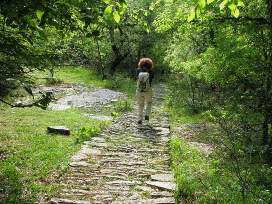
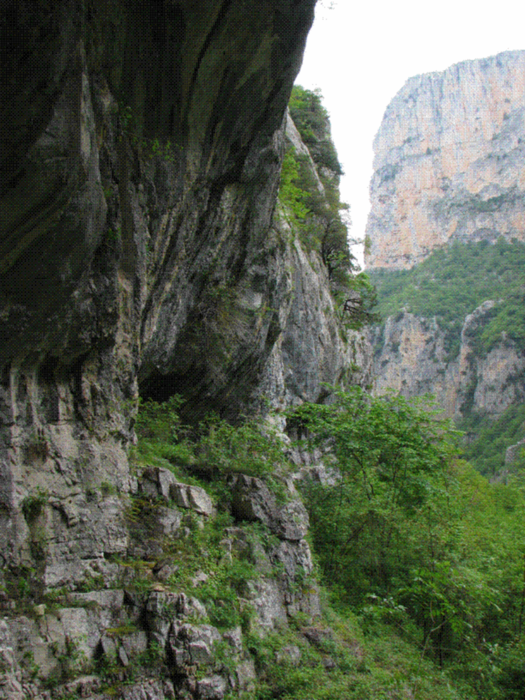
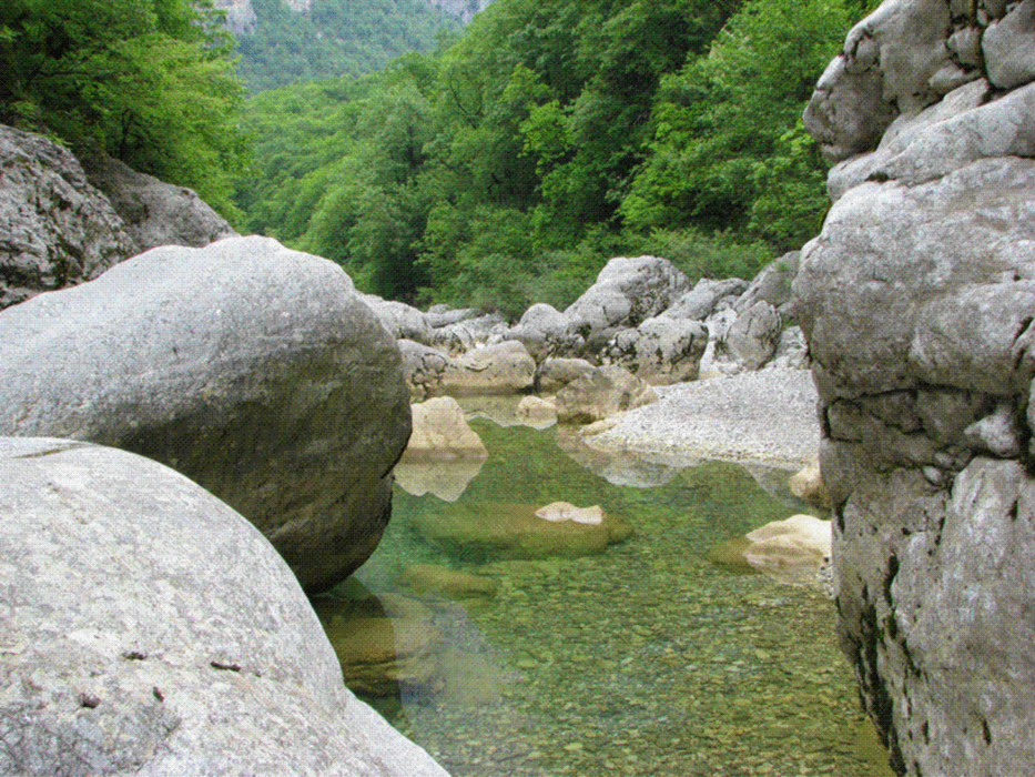
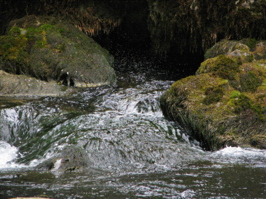
Von Monodendri (1060m) Abstieg auf gut markiertem, mit dem lokalen Plattenkalk gepflastertem Weg in die 900m tiefe und oben nur 110m breite Schlucht (laut Schild am Einstieg). Unten angekommen, "einfach" der Talsohle (700m) folgen. Die Markierungen werden sehr spärlich, aber der Pfad verliert sich nie ernsthaft. Trotzdem, die alte Hängebrücke an der Mündung des Megas Lakkos, einer Seitenschlucht, die ich vor 20 Jahren benutzte und die in allen Führern erwähnt ist, habe ich 2008 nicht wieder gefunden. Richtig eng wird es nie, man wandert im Wald und am Hang über Schuttkare gemächlich talwärts, bis man nach 19 km die Quellen des Voidomatis (500m) erreicht. Ein fertiger Fluß tritt hier an den Tag, bestes Trinkwasser, im Sommer heiß begehrt! Inzwischen ist der Weg auch wieder recht ordentlich und führt 300 Hm hinauf ins Dorf Vikos (800m).
Tour gallery
Tour map and elevation profile
Minimum height 438 m
Maximum height 1089 m
More about the tour author

|
Rhadamanthys |
Comments

Von Ioannina auf der E90 Richtung Konitsa. Nach ca. 18 km rechts ab nach Monodendri.
GPS tracks
Trackpoints-
GPX / Garmin Map Source (gpx) download
-
TCX / Garmin Training Center® (tcx) download
-
CRS / Garmin Training Center® (crs) download
-
Google Earth (kml) download
-
G7ToWin (g7t) download
-
TTQV (trk) download
-
Overlay (ovl) download
-
Fugawi (txt) download
-
Kompass (DAV) Track (tk) download
-
Track data sheet (pdf) download
-
Original file of the author (gpx) download
More about the tour author
|
|
Rhadamanthys |
Add to my favorites
Remove from my favorites
Edit tags
Open track
My score
Rate