


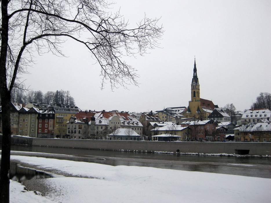
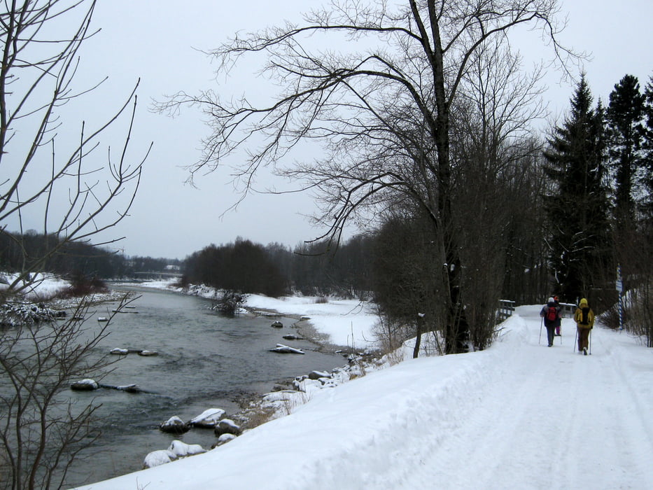
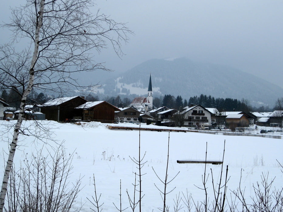
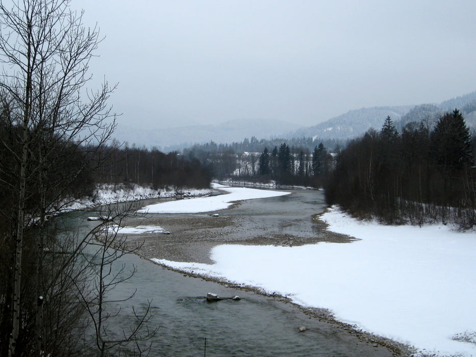
Wir starten unsere Tour am BOB-Bahnhof in Bad Tölz und gehen die Bahnhofstraße und Salzstraße hinunter bis in die Marktstraße. Wir überqueren die Isar und kommen gleich hinter der Brücke links auf die Promenade, die uns die Isar entlang führt. Von nun an folgen wir immer der Isar, vorbei an den Dörfern Arzbach, Obergries und Schlegldorf bis nach Lenggries. Hier queren wir erneut die Isar und gehen auf der Isarstraße entlang, bis wir die Schützenstraße und damit unser Ziel, den BOB-Bahnhof erreichen.
Eine gute Einkehr Möglichkeit ist der Gasthof zum Floßfischer in der Schützenstraße.
Tour gallery
Tour map and elevation profile
Minimum height 638 m
Maximum height 747 m
More about the tour author

|
frank_guenther |
Comments

Startpunkt der Tour ist der BOB-Bahnhof in Bad Tölz (Bahnhofstraße): N47,760465145, E11,573517323
GPS tracks
Trackpoints-
GPX / Garmin Map Source (gpx) download
-
TCX / Garmin Training Center® (tcx) download
-
CRS / Garmin Training Center® (crs) download
-
Google Earth (kml) download
-
G7ToWin (g7t) download
-
TTQV (trk) download
-
Overlay (ovl) download
-
Fugawi (txt) download
-
Kompass (DAV) Track (tk) download
-
Track data sheet (pdf) download
-
Original file of the author (gpx) download
More about the tour author
|
|
frank_guenther |
Add to my favorites
Remove from my favorites
Edit tags
Open track
My score
Rate