

Von Purbach aus (Einstieg überall um den Neusiedlersee möglich) dem Radweg B10 Richtung Norden. Über Breitenbrunn und Jois kommt man nach Neusiedl.
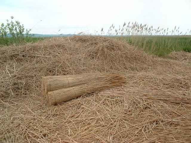
Von dort geht es durch typisches Steppenseegelände nach Podersdorf und weiter nach Illmitz.
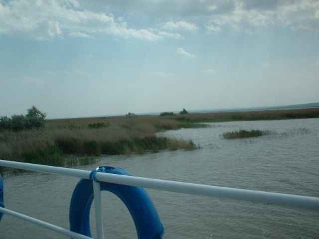
Vom Strandbad in Illmitz gelangt man mit der Fähre
nach Mörbisch. Von dort aus Richtung Norden über
Rust und Donnerkirchen wieder zurück nach Purbach.
Zusammenfassend eine gemütliche Runde mit vielen Einkehrmöglichkeiten und wirklich schönen Naturschönheiten.
Von dort geht es durch typisches Steppenseegelände nach Podersdorf und weiter nach Illmitz.
Vom Strandbad in Illmitz gelangt man mit der Fähre
nach Mörbisch. Von dort aus Richtung Norden über
Rust und Donnerkirchen wieder zurück nach Purbach.
Zusammenfassend eine gemütliche Runde mit vielen Einkehrmöglichkeiten und wirklich schönen Naturschönheiten.
Tour gallery
Tour map and elevation profile
Minimum height 92 m
Maximum height 147 m
More about the tour author
|
|
bonovox |
Comments

Von Graz über Wiener Neustadt und Eisenstadt nach Purbach.
Von Wien Richtung Schwechat und Neusiedl nach Purbach.(oder direkter Einstieg in Neusiedl)
Von Wien Richtung Schwechat und Neusiedl nach Purbach.(oder direkter Einstieg in Neusiedl)
GPS tracks
Trackpoints-
GPX / Garmin Map Source (gpx) download
-
TCX / Garmin Training Center® (tcx) download
-
CRS / Garmin Training Center® (crs) download
-
Google Earth (kml) download
-
G7ToWin (g7t) download
-
TTQV (trk) download
-
Overlay (ovl) download
-
Fugawi (txt) download
-
Kompass (DAV) Track (tk) download
-
Track data sheet (pdf) download
-
Original file of the author (g7t) download
More about the tour author
|
|
bonovox |
Add to my favorites
Remove from my favorites
Edit tags
Open track
My score
Rate