Login

Forgot your login?

Cookies have to be accepted!
Your browser's cookie functionality is disabled. Please enable this functionality.

Not a member yet?

Register now
Login

Available for registred users only

Log in to use this feature.

Forgot your login?

Cookies have to be accepted!
Your browser's cookie functionality is disabled. Please enable this functionality.

Not a member yet?

Register now
Filter
Categories
Advanced filters
  • Distance (km)
  • Height
Save filters Reset filter

TrackRank

QRCode

Technical data

Distance3,9 km Height13 m Way down35 m Duration01:08 h:m Date22.02.2010
Scores Author Landscape Fun factor Fitness Technique

Statistics

388 Views Scores 10 Downloads Average
Rate
  • Track data sheet
  • Directions
  • Downloads

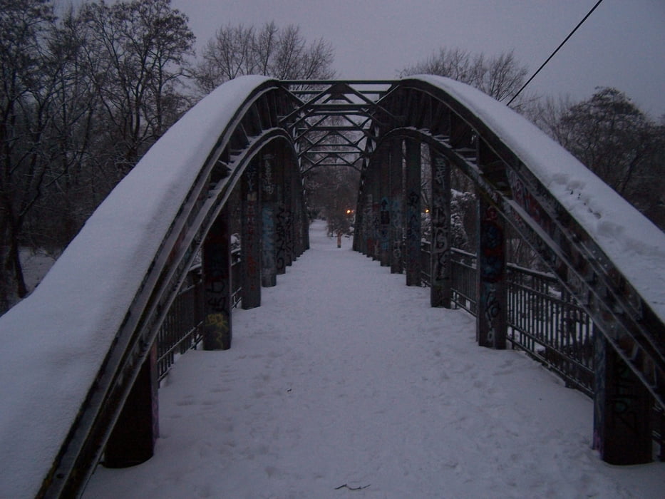
Diese kleine Runde ist in Teilbereichen schön.

Trotzdem lohnend. Ein Fußweg zwischen Bahn und Werksgelände und am Teltowkanal entlang entschädigen für ein Stück an einer schnöden Straße.

Further information at

http://de.wikipedia.org/wiki/Berlin-Lankwitz

Tour gallery

Tour map and elevation profile

  • Open Street Map
  • Google
Minimum height 21 m Maximum height 56 m Detailed view

More about the tour author

Pheinz
Member since 2009

Send private message

Comments

GPS tracks

Trackpoints
  • GPX / Garmin Map Source (gpx) download
  • TCX / Garmin Training Center® (tcx) download
  • CRS / Garmin Training Center® (crs) download
  • Google Earth (kml) download
  • G7ToWin (g7t) download
  • TTQV (trk) download
  • Overlay (ovl) download
  • Fugawi (txt) download
  • Kompass (DAV) Track (tk) download
  • Track data sheet (pdf) download
  • Original file of the author (gpx) download

More about the tour author

Pheinz
Member since 2009

Send private message
Share track
Add to my favorites
Remove from my favorites
Edit tags
My score
Rate
Track: Steglitz - Lankwitz
Type: Hiking
Distance: 3,9 km
Evaluated on:
Duration:
Day(s)
Hour(s)
Minute(s)
Score: Landscape Fun factor Fitness Technique