


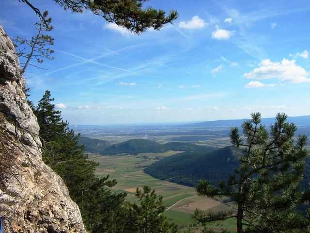
Der Springlesteig soll ist wahrscheinlich einer der meistbegangenen Klettersteige auf der Hohen Wand. Der Aufstieg zum Hubertushaus (OEAV) beträgt dauert ca. 1 Std.
In geringem Maße ist Schwindelfreiheit und Trittsicherheit auf dem rot markierten Steig erforderlich. Im Oberen Teil ist der Steig mit Drahtseilen und einer Eisenleiter versichert.
In geringem Maße ist Schwindelfreiheit und Trittsicherheit auf dem rot markierten Steig erforderlich. Im Oberen Teil ist der Steig mit Drahtseilen und einer Eisenleiter versichert.
Tour gallery
Tour map and elevation profile
Minimum height 549 m
Maximum height 961 m
More about the tour author
|
|
hans29 |
Comments

Auf der A2 bis Wiener Neustadt West, von dort auf der B26 bis kurz vor Unterhöflein. Dort rechts nach Oberhöflein abzweigen und im Ort (so hoch wie möglich) parken.
Mit der Bahn: Bis Unterhöflein, weiter zu Fuß nach Oberhöflein (Wegweiser "Hubertushaus").
Mit der Bahn: Bis Unterhöflein, weiter zu Fuß nach Oberhöflein (Wegweiser "Hubertushaus").
GPS tracks
Trackpoints-
GPX / Garmin Map Source (gpx) download
-
TCX / Garmin Training Center® (tcx) download
-
CRS / Garmin Training Center® (crs) download
-
Google Earth (kml) download
-
G7ToWin (g7t) download
-
TTQV (trk) download
-
Overlay (ovl) download
-
Fugawi (txt) download
-
Kompass (DAV) Track (tk) download
-
Track data sheet (pdf) download
-
Original file of the author (gpx) download
More about the tour author
|
|
hans29 |
Add to my favorites
Remove from my favorites
Edit tags
Open track
My score
Rate