


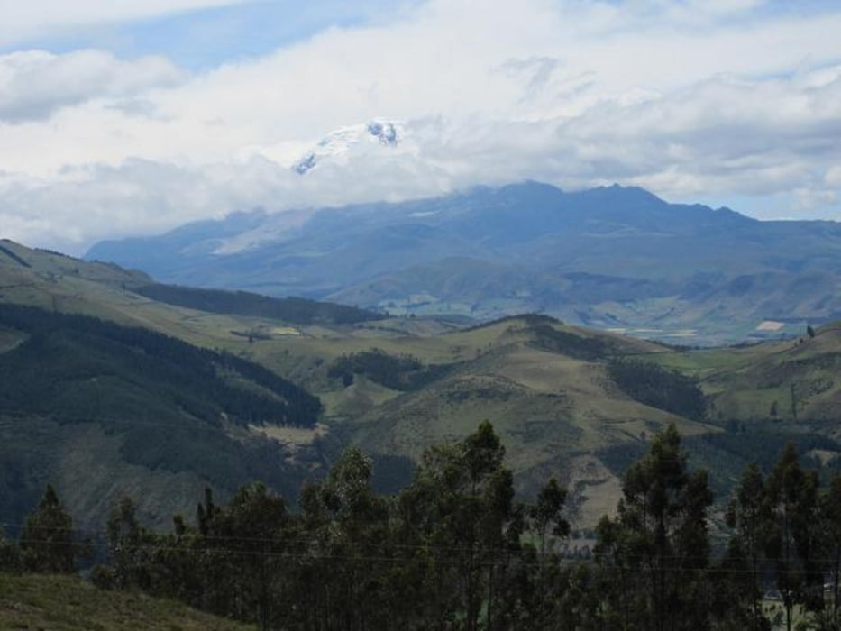
Schoene Wanderung mit Blick auf die Vulkane Imbabura und den vergletscherten Cayambe.
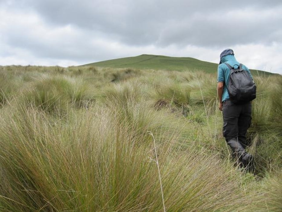
Gut als erste Akklimatisations Wanderung. Von Ibarra aus mit dem Bus ueber La Ezperanza raus bis zu einem kleine Ort von dem aus der Weg in Richtung Cubilche geht (am besten den Busfahrer fragen oder auf das Schild "Cubilche" achten). Dann immer dem Weg folgen...
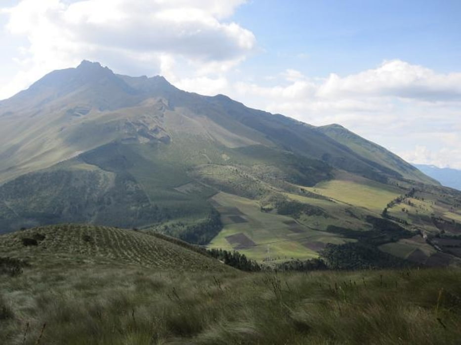
Der Abstieg auf der anderen Seite fuehrt auf einen Weg welcher einen entweder nach Otavalo oder zurueck nach Ibarra fuehrt. In Richtung Ibarra gibt es 2 Moeglichkeiten: An der naechsten Abzweigung, den rechten Weg nehmen der etwas laenger ist oder den linken schoeneren der allerdings kurz eine Machete benoetigt.
Further information at
http://www.binkurzweg.com/ultralightTour gallery
Tour map and elevation profile
Minimum height 2923 m
Maximum height 3845 m
More about the tour author
|
|
cbob |
Comments

GPS tracks
Trackpoints-
GPX / Garmin Map Source (gpx) download
-
TCX / Garmin Training Center® (tcx) download
-
CRS / Garmin Training Center® (crs) download
-
Google Earth (kml) download
-
G7ToWin (g7t) download
-
TTQV (trk) download
-
Overlay (ovl) download
-
Fugawi (txt) download
-
Kompass (DAV) Track (tk) download
-
Track data sheet (pdf) download
-
Original file of the author (gpx) download
More about the tour author
|
|
cbob |
Add to my favorites
Remove from my favorites
Edit tags
Open track
My score
Rate