


Von Hinterzarten dem Skifernwanderweg Schonach-Belchen bis zum Rufenholzplatz. Weiter zum Raimartihof. Von dort dem Seestäßchen bis zum Caritashaus folgen.
Leider wird dieser Weg auch von Fußgängern und Horten von Schneeschuhwanderern benutzt. Am Wochenende ist ab 10.00 Uhr ist ein sinnvolles Scaten nicht mehr möglich. Die Spur ist völlig zertrampelt. Dies gilt auch für das erste Drittel vom Caritashaus zum Äulerner Kreuz.
Ab dem Caritashaus Loipe zum Äulener Kreuz folgen. Weiter zur Rosshütte. Abstieg bis zum Forsthaus Untergrummen. Dem Seeufer bis Seebruck folgen. Dort Möglichkeit mit dem Zug direkt nach Hinterzarten zurückzufahren.
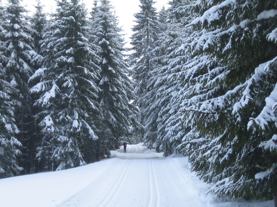
Tour gallery
Tour map and elevation profile
Minimum height 893 m
Maximum height 1246 m
More about the tour author
|
|
Kunz |
Comments

Start beim Parkplatz des Kurhauses in Hinterzarten im Schwarzwald.
Am Wochenende werden die Loipen im Ort schnell zu einem Trampelpfad für Fußgänger. Am besten gleich früh morgens starten.
GPS tracks
Trackpoints-
GPX / Garmin Map Source (gpx) download
-
TCX / Garmin Training Center® (tcx) download
-
CRS / Garmin Training Center® (crs) download
-
Google Earth (kml) download
-
G7ToWin (g7t) download
-
TTQV (trk) download
-
Overlay (ovl) download
-
Fugawi (txt) download
-
Kompass (DAV) Track (tk) download
-
Track data sheet (pdf) download
-
Original file of the author (gpx) download
More about the tour author
|
|
Kunz |
Add to my favorites
Remove from my favorites
Edit tags
Open track
My score
Rate