


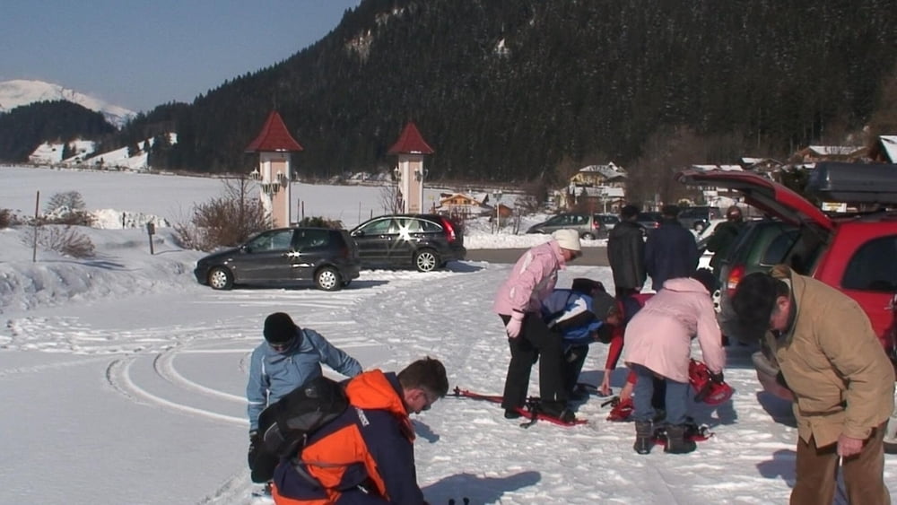
Ein Schnupperkurs in Haller/ Haldensee für Noch- nicht- Schneeschuhwanderer von "Andrea", Tochter des Hotels "Ladernd'l Hof" in Haller- und alle waren hellauf begeistert.
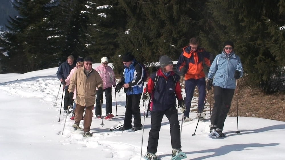
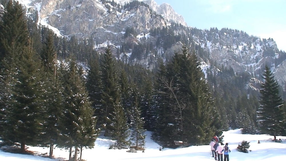
Bei 30-40cm festem Schnee gehts vom Parkplatz des Hotels aus einfach drauf los: über "Wiesen", Wege, Waldgelände. An einem schönen Aussichtspunkt gabs dann auch noch "a Marillen- Stamperl", das Wetter war sowieso schon etwas diesig!
Und dann mit Lust und Begeisterung bergab und zurück- für alle wars einfach toll!!
PS: Das Video kann durch Doppelklick bei Youtube in Vollformat betrachtet werden und in HD- Qualität 720P (an Arbeitsleiste rechts unten wählbar).
PSS: PS: Fragen zu meiner GPS- Aufzeichnung/ Kartenmaterial/ Software? Schreiben sie mir eine Mail!
Tour gallery

Tour map and elevation profile
Minimum height 1134 m
Maximum height 1287 m
More about the tour author
|
|
heinz-57 |
Comments

Google Earth: 47°29'32.52"N / 10°35'15.03"E
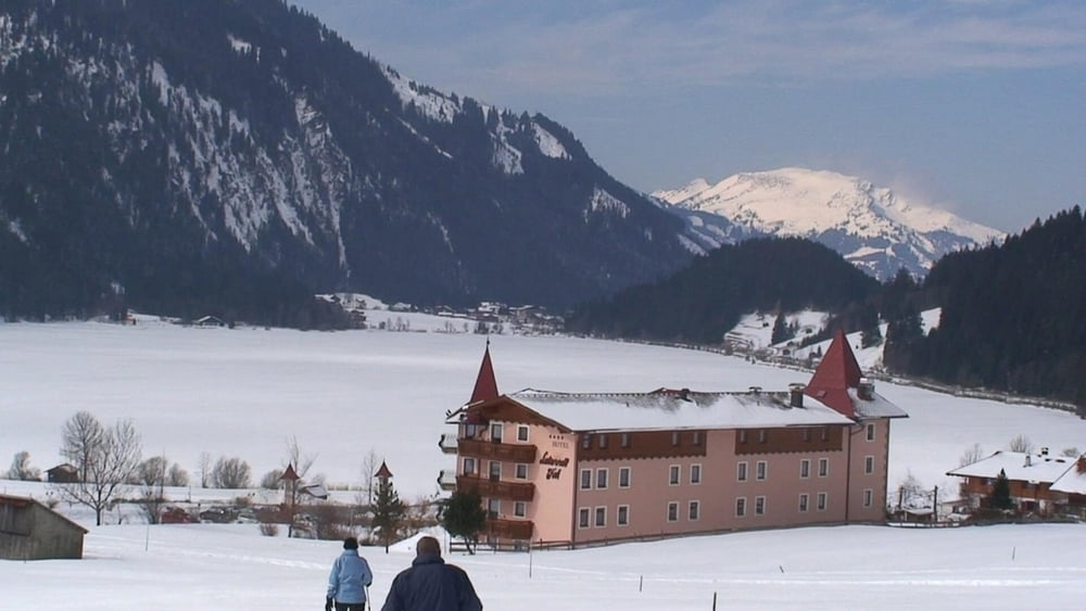
Von Oberjoch kommend nach Haldensee und weiter zum kleinen Ort Haller. Am Ortsende liegt das schöne Hotel "Laternd'l Hof"
GPS tracks
Trackpoints-
GPX / Garmin Map Source (gpx) download
-
TCX / Garmin Training Center® (tcx) download
-
CRS / Garmin Training Center® (crs) download
-
Google Earth (kml) download
-
G7ToWin (g7t) download
-
TTQV (trk) download
-
Overlay (ovl) download
-
Fugawi (txt) download
-
Kompass (DAV) Track (tk) download
-
Track data sheet (pdf) download
-
Original file of the author (gpx) download
More about the tour author
|
|
heinz-57 |
Add to my favorites
Remove from my favorites
Edit tags
Open track
My score
Rate