


Samstag mittag 15Uhr. Trotz +3°C Aussentemperatur habe ich mich aufgerafft und noch eine Runde auf dem Rad gedreht.
Start: Vaihingen/Enz Bahnhof
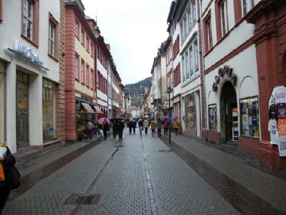
Ziel: Heidelberg Altstadt/Fussgängerzone
Tour geht erst leicht wellig über den Stromberg über Illingen nach Zaisersweiher und weiter nach Sternenfels. Schöne Abfahrt bis Oberderdingen. Durchs Kraichgau eben bis wir in Ubstadt die Rheinebene erreichen. In Ubstadt auf die B3. Samstag gut zu fahren wenig Verkehr oder den paralellen Radweg benutzen. B3 weiter bis Wiesloch.
Dann über Nußloch und Laimen die erste Vororte von Heidelberg durchfahren.
Rückfahrt mit Zug problemlos möglich.
Fahrzeit: 2 Std 40min mit leichtem Wind.
Entfernung ca 75km einfache Strecke.
Tour gallery
Tour map and elevation profile
Minimum height 104 m
Maximum height 332 m
More about the tour author
|
|
danielkeuerleber |
Comments

GPS tracks
Trackpoints-
GPX / Garmin Map Source (gpx) download
-
TCX / Garmin Training Center® (tcx) download
-
CRS / Garmin Training Center® (crs) download
-
Google Earth (kml) download
-
G7ToWin (g7t) download
-
TTQV (trk) download
-
Overlay (ovl) download
-
Fugawi (txt) download
-
Kompass (DAV) Track (tk) download
-
Track data sheet (pdf) download
-
Original file of the author (gpx) download
More about the tour author
|
|
danielkeuerleber |
Add to my favorites
Remove from my favorites
Edit tags
Open track
My score
Rate