


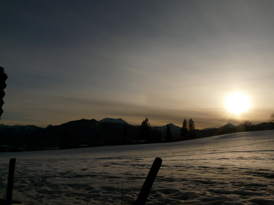
Zur Neureuth knapp 1,5 h, zur Gindelalm (mit Umweg über Gipfelkreuz) eine weitere h. Zurück deutlich weniger. Rückweg über Rodelstrecke. Wir haben die Tour im Winter gemacht. Als Ausrüstungsgegenstand haben sich Grödl bezahlt gemacht, da einige Passagen, vor Allem im Wald, noch stark vereist waren.
Tour gallery
Tour map and elevation profile
Minimum height 849 m
Maximum height 1345 m
More about the tour author

|
KnutTuareg |
Comments

Auf der Salzbuger Autobahn A8 bis Holzkirchen. Dann Richtung Tegernsee. Im Ort den Bahnhof ansteuern, am Schloss vorbei und gleich darauf beim Heimatmuseum links abbiegen.
GPS tracks
Trackpoints-
GPX / Garmin Map Source (gpx) download
-
TCX / Garmin Training Center® (tcx) download
-
CRS / Garmin Training Center® (crs) download
-
Google Earth (kml) download
-
G7ToWin (g7t) download
-
TTQV (trk) download
-
Overlay (ovl) download
-
Fugawi (txt) download
-
Kompass (DAV) Track (tk) download
-
Track data sheet (pdf) download
-
Original file of the author (gpx) download
More about the tour author
|
|
KnutTuareg |
Add to my favorites
Remove from my favorites
Edit tags
Open track
My score
Rate