

zum einrollen und schauen ob noch alles funktioniert, da die Wald- und Forstwege noch zu naß waren ging es nur auf Straßen entlang.
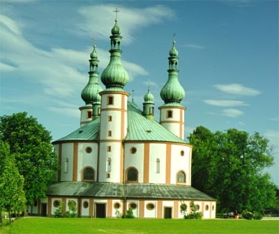
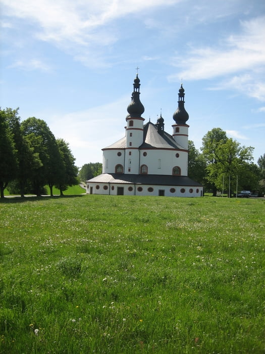
Ziel war die Dreifalitgkeitskriche Kappel (Wallfahrtskirche) in der Nähe von Waldsassen.
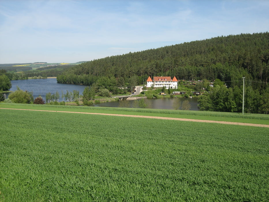
Es ging über den Wartberg und Seeklause bei Arzberg (Der See wird offiziell Feisnitz-Stausee oder Feisnitzspeicher genannt) - Die "Locals" nennen ihn Klausen.
Tour gallery
Tour map and elevation profile
Minimum height 468 m
Maximum height 631 m
More about the tour author
|
|
Bernd-Ghostbiker |
Comments

Startpunkt ist Thiersheim. Anreise per PKW: aus Richtung Regensburg - Weiden A 93 in Richtung Berlin Ausfahrt Thiersheim aus Richtung Nürnberg - Bayreuth A 9 in Richtung Berlin Ausfahrt Bad Berneck und dann durch das Fichtelgebirge über Tröstau, Wunsiedel, Marktredwitz nach Thiersheim oder Ausfahrt Gefrees über Weißenstadt, Röslau, Bernstein nach Thiersheim
GPS tracks
Trackpoints-
GPX / Garmin Map Source (gpx) download
-
TCX / Garmin Training Center® (tcx) download
-
CRS / Garmin Training Center® (crs) download
-
Google Earth (kml) download
-
G7ToWin (g7t) download
-
TTQV (trk) download
-
Overlay (ovl) download
-
Fugawi (txt) download
-
Kompass (DAV) Track (tk) download
-
Track data sheet (pdf) download
-
Original file of the author (gpx) download
More about the tour author
|
|
Bernd-Ghostbiker |
Add to my favorites
Remove from my favorites
Edit tags
Open track
My score
Rate