Login

Forgotten password?

Cookies have to be accepted!
Your browser's cookie functionality is disabled. Please enable this functionality.

Not a member yet?

Register now
Login

Available for registred users only

Log in to use this feature.

Forgotten password?

Cookies have to be accepted!
Your browser's cookie functionality is disabled. Please enable this functionality.

Not a member yet?

Register now
Filter
Categories
Advanced filters
  • Distance (km)
  • Height
Save filters Reset filter

TrackRank

QRCode

Technical data

Distance7,3 km Height193 m Way down233 m Duration02:15 h:m Date05.04.2010
Scores Author User Landscape Fun factor Fitness Technique

Statistics

11128 Views 1 Score 246 Downloads 4.00 Average
Rate
  • Track data sheet
  • Directions
  • Downloads


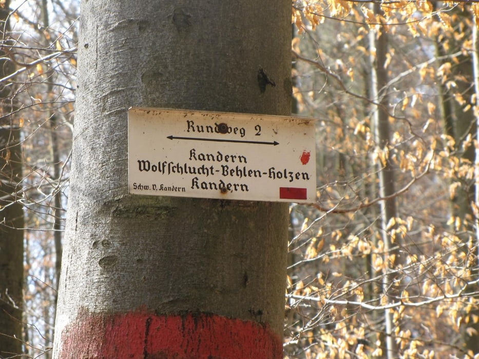
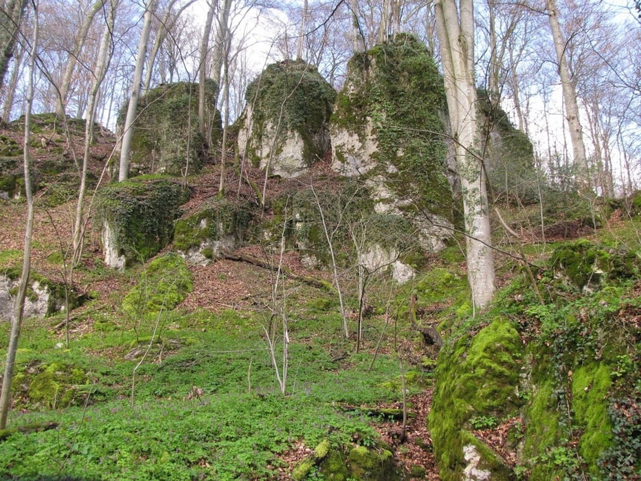
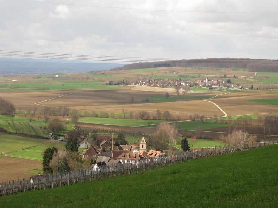
Landschaftlich schöne Rundtour durch die Wolfsschlucht nach Holzen und zurück nach Kandern.


Tour gallery

Tour map and elevation profile

  • Open Street Map
  • Google
Minimum height 325 m Maximum height 426 m Detailed view

More about the tour author

yorkton
Member since 2008

Send private message

Comments

x-dream-biker on 24.06.2012

Wiederholung sicher

Wunderschöne Tour. Ist auch gut zum Walken oder Joggen geeignet.

Beim Bahnhof Kandern in den Böscherzenweg abbiegen, am Ende der Strasse ist ein Parkplatz.

GPS tracks

Trackpoints
  • GPX / Garmin Map Source (gpx) download
  • TCX / Garmin Training Center® (tcx) download
  • CRS / Garmin Training Center® (crs) download
  • Google Earth (kml) download
  • G7ToWin (g7t) download
  • TTQV (trk) download
  • Overlay (ovl) download
  • Fugawi (txt) download
  • Kompass (DAV) Track (tk) download
  • Track data sheet (pdf) download
  • Original file of the author (gpx) download

More about the tour author

yorkton
Member since 2008

Send private message
Share track
Add to my favorites
Remove from my favorites
Edit tags
My score
Rate
Track: Wolfsschlucht Kandern
Type: Hiking
Distance: 7,3 km
Evaluated on:
Duration:
Day(s)
Hour(s)
Minute(s)
Score: Landscape Fun factor Fitness Technique