


Südabstürze Kollinkofel 1950 m, 680 hm
Aufstiegszeit ca. 1:40
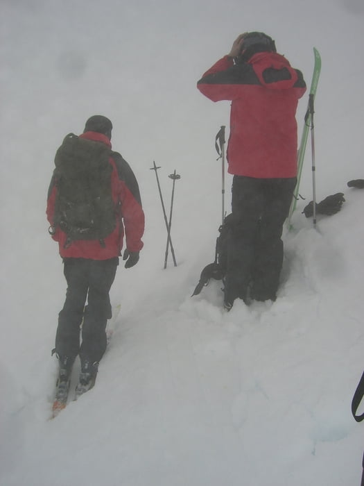
Startpunkt der Tour ist der Plöckpass auf ca. 1340 m. Vom Plöckenpass starteten wir Richtung Südwesten. Ziel der Tour war eigentlich die Kellerscharte über die Variante unter den Südabstürzen des Kollinkofels und den mit Drahtseil gesicherten Durchschlupf auf das Kar vor dem Keller.
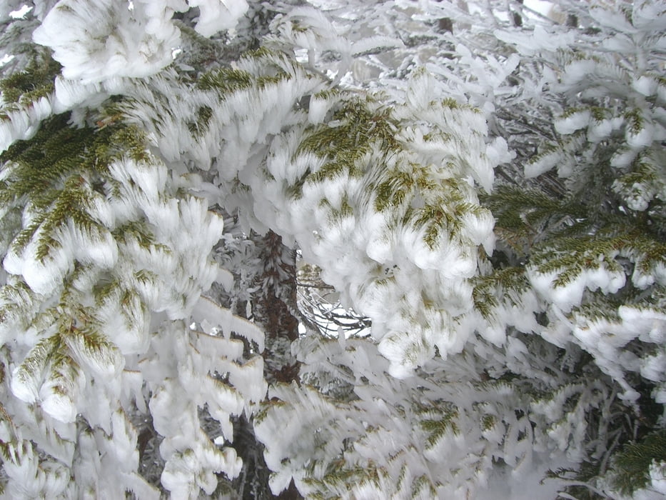
Der Nebel verhinderte jedoch unsere ursprünglich geplante Tour und wir sind bis ca. 1950 m unter den besagten Südabstürzen des Kollinkofels aufgestiegen. Ein weitergehen war nicht mehr zielführend.
Tour gallery
Tour map and elevation profile
Minimum height 1328 m
Maximum height 1997 m
More about the tour author
|
|
bikingwc |
Comments

Auf zum Plöckenpass!
GPS tracks
Trackpoints-
GPX / Garmin Map Source (gpx) download
-
TCX / Garmin Training Center® (tcx) download
-
CRS / Garmin Training Center® (crs) download
-
Google Earth (kml) download
-
G7ToWin (g7t) download
-
TTQV (trk) download
-
Overlay (ovl) download
-
Fugawi (txt) download
-
Kompass (DAV) Track (tk) download
-
Track data sheet (pdf) download
-
Original file of the author (gpx) download
More about the tour author
|
|
bikingwc |
Add to my favorites
Remove from my favorites
Edit tags
Open track
My score
Rate