


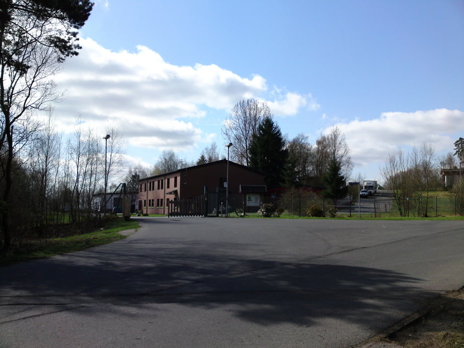
Schöne Tour über überwiegend ruhige Nebenstrassen. Alles asphaltiert, daher mit allen Radtypen zu fahren.
Start in Hamm in Richtung Rosbach. Ortsausgang Rosbach rechts (bei den Fischweihern) rein in Richtung Mittel. Am Ortseingang Mittel links den Berg hoch nach Rommen. Dort über Schönenbach und Seifen zur Nutscheid. An der ehemaligen Raketenbasis rechts abbiegen. Über Wippenkausen nach Berkenroth. Dort auf den die B478 begleitenden Radweg. Über Ruppichteroth bis Schönenberg. Dort den Berg hinauf Richtung Rose/Niederottersbach. In Niederottersbach links nach Ringstellen/Rieferrath. In Rieferrath rechts in den Kaltbachweg. An der Kaltenbachmühle rechts ein Stück die Bundesstrasse entlang und dann links über die Brücke nach Röcklingen. An der Sieg vorbei zurück nach Hamm.
Tour gallery
Tour map and elevation profile
Minimum height 100 m
Maximum height 363 m
More about the tour author
|
|
hajorenner |
Comments

GPS tracks
Trackpoints-
GPX / Garmin Map Source (gpx) download
-
TCX / Garmin Training Center® (tcx) download
-
CRS / Garmin Training Center® (crs) download
-
Google Earth (kml) download
-
G7ToWin (g7t) download
-
TTQV (trk) download
-
Overlay (ovl) download
-
Fugawi (txt) download
-
Kompass (DAV) Track (tk) download
-
Track data sheet (pdf) download
-
Original file of the author (gpx) download
More about the tour author
|
|
hajorenner |
Add to my favorites
Remove from my favorites
Edit tags
Open track
My score
Rate