Login

Forgot your login?

Cookies have to be accepted!
Your browser's cookie functionality is disabled. Please enable this functionality.

Not a member yet?

Register now
Login

Available for registred users only

Log in to use this feature.

Forgot your login?

Cookies have to be accepted!
Your browser's cookie functionality is disabled. Please enable this functionality.

Not a member yet?

Register now
Filter
Categories
Advanced filters
  • Distance (km)
  • Height
Save filters Reset filter

TrackRank

QRCode

Technical data

Distance206,6 km Height1858 m Way down1864 m Duration00:00 h:m Date11.04.2010
Scores Author Landscape Fun factor Fitness Technique

Statistics

224 Views Scores 25 Downloads Average
Rate
  • Track data sheet
  • Directions
  • Downloads

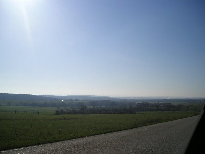
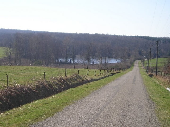
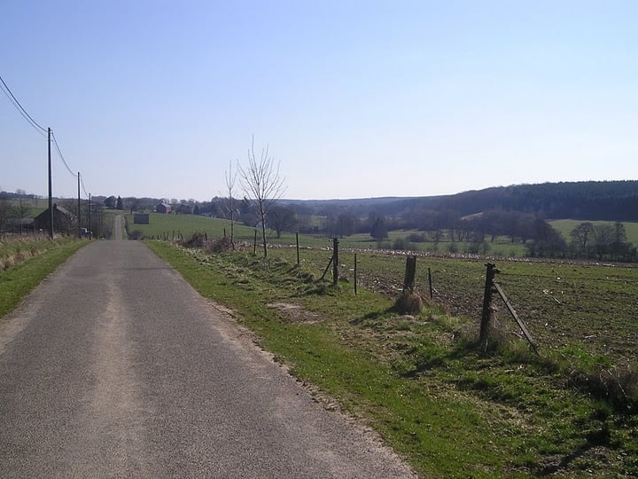
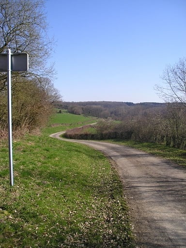
Prachtige tocht die start vanuit Montigny-le-Tillieul, georganiseerd op 10 april 2010 door Cyclo Club Bomeree.

Tour gallery

Tour map and elevation profile

  • Open Street Map
  • Google
Minimum height 101 m Maximum height 330 m Detailed view

More about the tour author

gogeko
Member since 2009

Send private message

Comments

Voor de route zie de GPX-file.

GPS tracks

Trackpoints
  • GPX / Garmin Map Source (gpx) download
  • TCX / Garmin Training Center® (tcx) download
  • CRS / Garmin Training Center® (crs) download
  • Google Earth (kml) download
  • G7ToWin (g7t) download
  • TTQV (trk) download
  • Overlay (ovl) download
  • Fugawi (txt) download
  • Kompass (DAV) Track (tk) download
  • Track data sheet (pdf) download
  • Original file of the author (gpx) download

More about the tour author

gogeko
Member since 2009

Send private message
Share track
Add to my favorites
Remove from my favorites
Edit tags
My score
Rate
Track: Rallye de la Trappiste 2010
Type: Road biking
Distance: 206,6 km
Evaluated on:
Duration:
Day(s)
Hour(s)
Minute(s)
Score: Landscape Fun factor Fitness Technique