


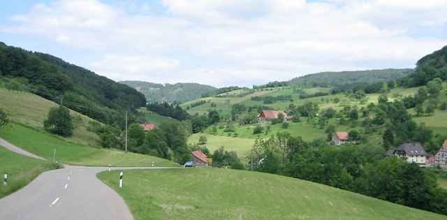
Sanfter Start durch das Elztal bis Winden. Dann gibt es ein paar knackige Anstiege. Im Brettental Möglichkeit zur Einkehr im sehr beliebten "Traudels Cafe", Hauptstraße 19, Donnerstag Ruhetag. Ab dem Brettental bietet sich auch eine Abkürzung über Sägplatz und Keppenbach an. Dann spart man sich ein paar Höhenmeter. Schöne Tour auf verkehrsarmen Straßen. Oft mit herrlichem Schwarzwaldpanorama. 90 % der Runde sind asphaltiert.
Tour gallery
Tour map and elevation profile
Minimum height
Maximum height 713 m
More about the tour author

|
Scott |
Comments

Start am Bahnhof in Denzlingen
GPS tracks
Trackpoints-
GPX / Garmin Map Source (gpx) download
-
TCX / Garmin Training Center® (tcx) download
-
CRS / Garmin Training Center® (crs) download
-
Google Earth (kml) download
-
G7ToWin (g7t) download
-
TTQV (trk) download
-
Overlay (ovl) download
-
Fugawi (txt) download
-
Kompass (DAV) Track (tk) download
-
Track data sheet (pdf) download
-
Original file of the author (g7t) download
More about the tour author
|
|
Scott |
Add to my favorites
Remove from my favorites
Edit tags
Open track
My score
Rate