


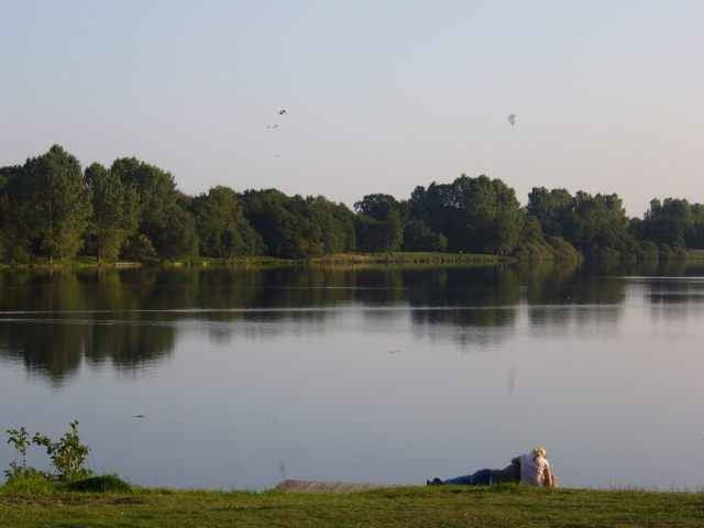
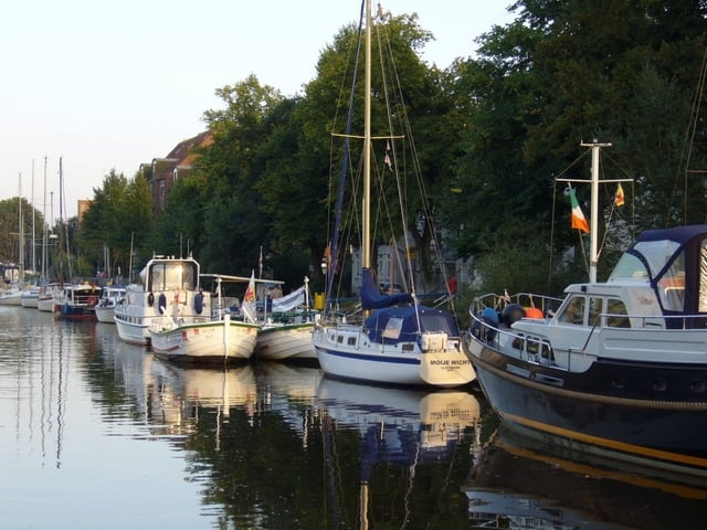
Die Route ist weitgehend identisch mit der Empfehlung auf radweit.de.Damit die schönen Seiten Bremens nicht zu kurz kommen, gibt es am Anfang einen kleinen Schlenker zwischen Dom und Rathaus hindurch bevor wir über Woltmershausen, Huchting und Strom Bremen verlassen. Weiter geht es durch das Naturschutzgebiet Uhlenbrok über Hasbergen und Bookholzberg nach Hude, hier an der Klosterruine vorbei. Am Reiherholzwaldrand entlang, durch Wraggenort hindurch und am Tweelbäker See vorbei erreichen wir Oldenburg. Der Track führt dann am Hafen vorbei und endet am Hauptbahnhof. Keine nennenswerten Steigungen, aber einige längere holprige Schotter- und Asphaltabschnitte.
Further information at
http://www.radweit.de/hbol/hbol.htmlTour gallery
Tour map and elevation profile
Minimum height 2 m
Maximum height 28 m
More about the tour author
|
|
Kowa |
Comments

Start ist am Hauptbahnhof in Bremen auf dem Bahnhofsvorplatz ( Ausgang Innenstadt / Straßenbahnhaltestellen ). Bei Pannen vor Beginn der Tour : direkt neben dem Bahnhof befindet sich die Bremer Radstation ;-)
GPS tracks
Trackpoints-
GPX / Garmin Map Source (gpx) download
-
TCX / Garmin Training Center® (tcx) download
-
CRS / Garmin Training Center® (crs) download
-
Google Earth (kml) download
-
G7ToWin (g7t) download
-
TTQV (trk) download
-
Overlay (ovl) download
-
Fugawi (txt) download
-
Kompass (DAV) Track (tk) download
-
Track data sheet (pdf) download
-
Original file of the author (gpx) download
More about the tour author
|
|
Kowa |
Add to my favorites
Remove from my favorites
Edit tags
Open track
My score
Rate