


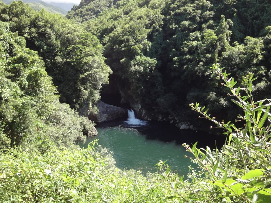
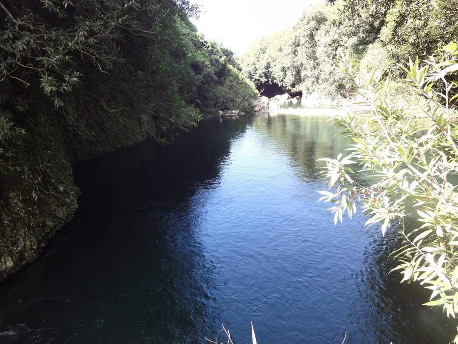
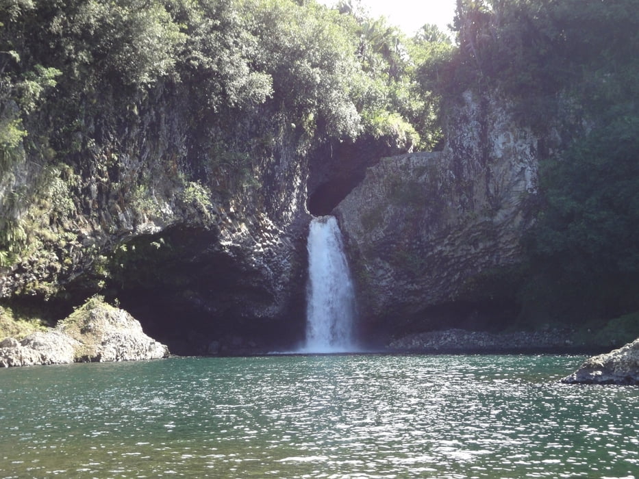
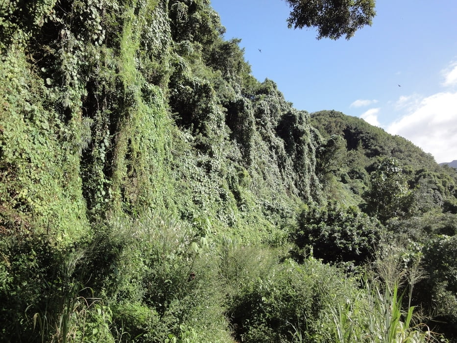
Die Tour entspricht der Tour 13 im Rother Wanderführer La Reunion. Die Route beginnt auf dem Parkplatz beim Bassin La Paix. Flussaufwärts geht die Tour am linken Ufer des Riviere des Roches das Tal hinauf. Der Weg ist manchmal kaum zu erkennen
und wird je nach Jahreszeit auich schonmal zum Bachbett. Dennoch ist die Tour einfach zu laufen, auch wenn man sich teilweise durch Gestrüpp und über Wurzeln bewegt. Das obere Bassin lohnt sich auf jeden Fall. Es ist auch zum Schwimmen geeignet.
Tour gallery
Tour map and elevation profile
Minimum height 78 m
Maximum height 202 m
More about the tour author
|
|
ralph.trapp |
Comments

Von der N2 die Abfahrt La Paix in der Nähe von Bras Panon nehmen und immer den Schildern Bassin La Paix folgen. Nach etwa 4km erreicht man den Parkplatz am Startpunkt der Tour.
GPS tracks
Trackpoints-
GPX / Garmin Map Source (gpx) download
-
TCX / Garmin Training Center® (tcx) download
-
CRS / Garmin Training Center® (crs) download
-
Google Earth (kml) download
-
G7ToWin (g7t) download
-
TTQV (trk) download
-
Overlay (ovl) download
-
Fugawi (txt) download
-
Kompass (DAV) Track (tk) download
-
Track data sheet (pdf) download
-
Original file of the author (gpx) download
More about the tour author
|
|
ralph.trapp |
Add to my favorites
Remove from my favorites
Edit tags
Open track
My score
Rate