


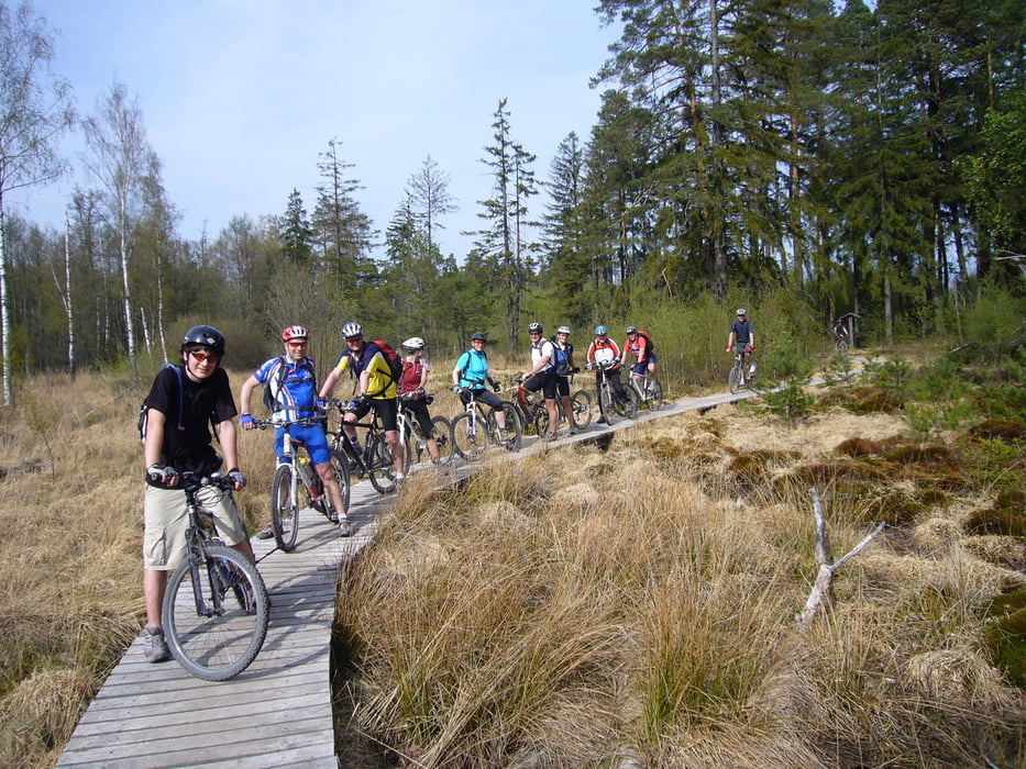
Eröffnungsfahrt des Deutschen Alpenvereins, Bezirksgruppe Kreis Böblingen mit 12 Leuten.
Viele weitere tolle Bike- und Bergtouren gibt's unter www.alpenverein-bb.de.
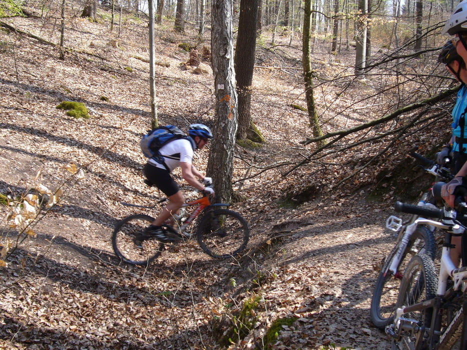
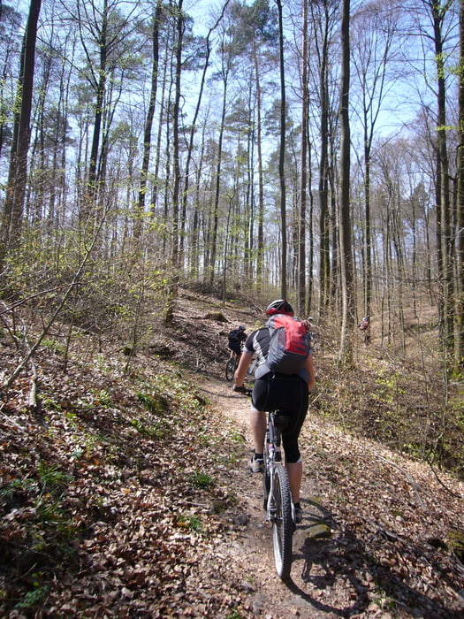
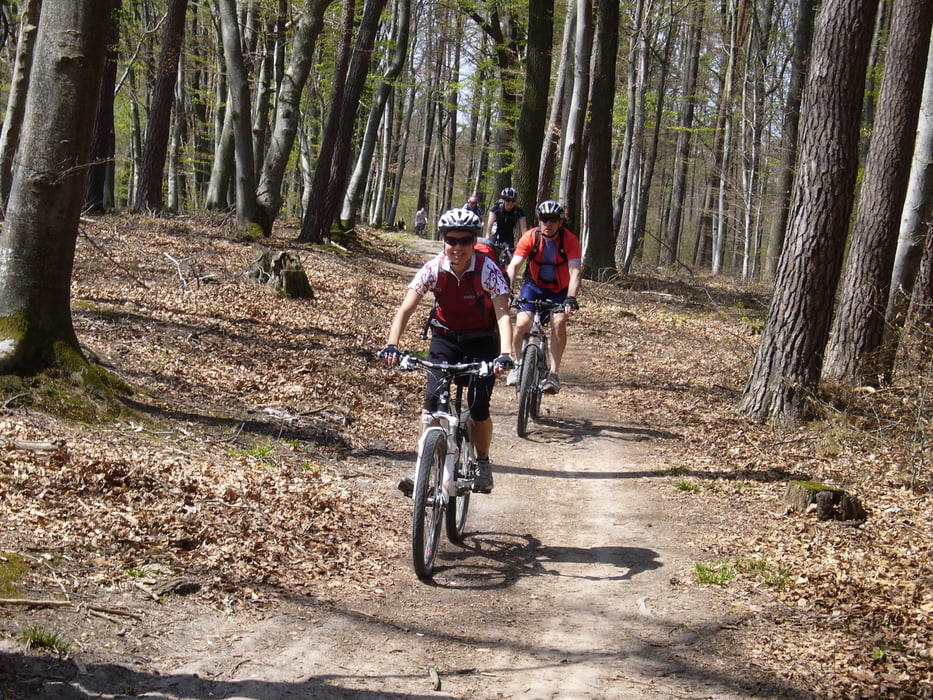
Von Böblingen über das Hofgut Mauren nach Rohrau. Auf Trails zum Herrenberger Waldfriedhof (Naturfreundehaus) und weiter am Schönbuch-Trauf entlang zum Schloß Hohenentringen (Biergarten). Mutprobe an der Ruine Müneck. Zurück durchs Goldersbachtal, vorbei am Birkensee nach Mauren (Biergarten) und zurück zum Ausgangspunkt.
BIKER, nehmt Rücksicht auf Wanderer und andere Naturnutzer. Befolgt die Trailrules!
Further information at
http://www.alpenverein-bb.de/joomla/index.php?option=com_content&task=view&id=90&Itemid=25Tour gallery
Tour map and elevation profile
Minimum height 405 m
Maximum height 583 m
More about the tour author

|
Hogan |
Comments

A81 Abfahrt Böblingen-Hulb. Bundesstraße in Richtung Ehningen. Waldparkplatz gegenüber des Böblinger Tierheims.
GPS tracks
Trackpoints-
GPX / Garmin Map Source (gpx) download
-
TCX / Garmin Training Center® (tcx) download
-
CRS / Garmin Training Center® (crs) download
-
Google Earth (kml) download
-
G7ToWin (g7t) download
-
TTQV (trk) download
-
Overlay (ovl) download
-
Fugawi (txt) download
-
Kompass (DAV) Track (tk) download
-
Track data sheet (pdf) download
-
Original file of the author (gpx) download
More about the tour author
|
|
Hogan |
Add to my favorites
Remove from my favorites
Edit tags
Open track
My score
Rate