Login

Forgotten password?

Cookies have to be accepted!
Your browser's cookie functionality is disabled. Please enable this functionality.

Not a member yet?

Register now
Login

Available for registred users only

Log in to use this feature.

Forgotten password?

Cookies have to be accepted!
Your browser's cookie functionality is disabled. Please enable this functionality.

Not a member yet?

Register now
Filter
Categories
Advanced filters
  • Distance (km)
  • Height
Save filters Reset filter

TrackRank

QRCode

Technical data

Distance7,8 km Height289 m Way down301 m Duration03:30 h:m Date02.05.2010
Scores Author Landscape Fun factor Fitness Technique

Statistics

1769 Views Scores 89 Downloads Average
Rate
  • Track data sheet
  • Directions
  • Downloads


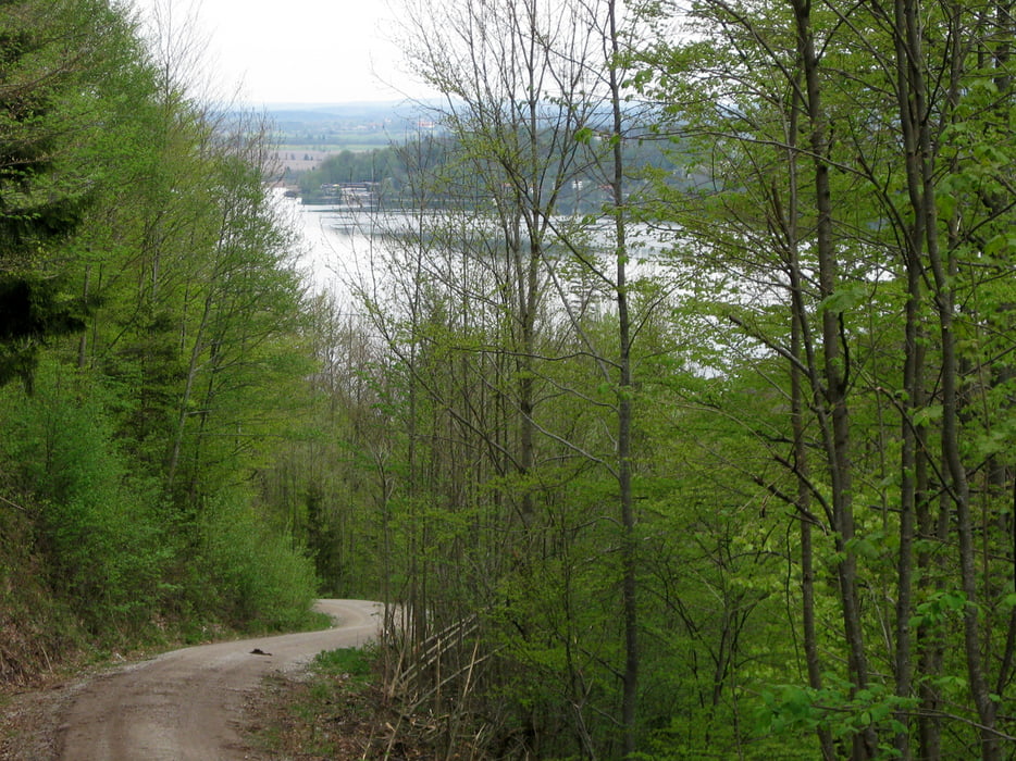
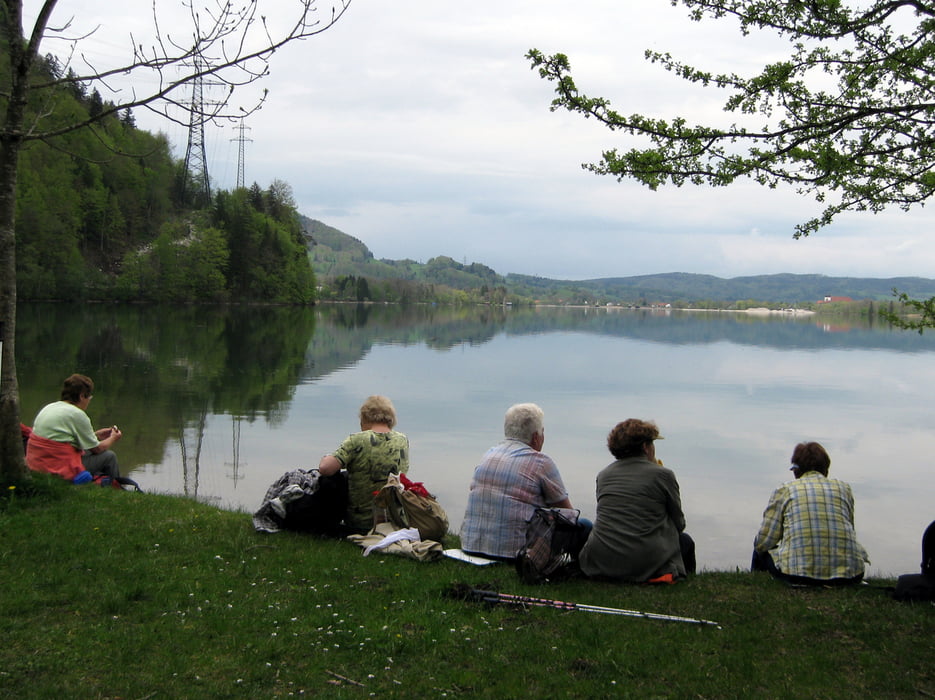
Vom Parkplatz bei Schlehdorf wandern wir die Rauterstraße hinunter bis wir auf den Jocher Höhenweg gelangen. Dieser Weg bringt uns auf 800 Höhenmeter und dann wieder hinunter zum Kochelsee auf 600 Meter. Am Ufer des Kochelsees gehen wir über den Felsenweg zu unserem Parkplatze bei Raut (Schlehdorf) zurück.


Tour gallery

Tour map and elevation profile

  • Open Street Map
  • Google
Minimum height 601 m Maximum height 815 m Detailed view

More about the tour author

frank_guenther
Member since 2008

Send private message

Comments

Startpunkt der Wanderung ist ein Parkplatz bei Schlehdorf in der Rauterstraße: N47,64482975, E11,310231686

GPS tracks

Trackpoints
  • GPX / Garmin Map Source (gpx) download
  • TCX / Garmin Training Center® (tcx) download
  • CRS / Garmin Training Center® (crs) download
  • Google Earth (kml) download
  • G7ToWin (g7t) download
  • TTQV (trk) download
  • Overlay (ovl) download
  • Fugawi (txt) download
  • Kompass (DAV) Track (tk) download
  • Track data sheet (pdf) download
  • Original file of the author (gpx) download

More about the tour author

frank_guenther
Member since 2008

Send private message
Share track
Add to my favorites
Remove from my favorites
Edit tags
My score
Rate
Track: Von Schlehdorf an den Kochelsee
Type: Mountain hiking
Distance: 7,8 km
Evaluated on:
Duration:
Day(s)
Hour(s)
Minute(s)
Score: Landscape Fun factor Fitness Technique