Login

Forgotten password?

Cookies have to be accepted!
Your browser's cookie functionality is disabled. Please enable this functionality.

Not a member yet?

Register now
Login

Available for registred users only

Log in to use this feature.

Forgotten password?

Cookies have to be accepted!
Your browser's cookie functionality is disabled. Please enable this functionality.

Not a member yet?

Register now
Filter
Categories
Advanced filters
  • Distance (km)
  • Height
Save filters Reset filter

TrackRank

QRCode

Technical data

Distance39,2 km Height773 m Way down781 m Duration03:30 h:m Date02.10.2006
Scores Author Landscape Fun factor Fitness Technique

Statistics

2749 Views 1 Score 276 Downloads 2.00 Average
Rate
  • Track data sheet
  • Directions
  • Downloads
Schömberg/Untere Säge - Plettenberg - am Nordwestrand um den Steinbruch Ri Funkturm - Schafberg - Lochenstein - Strasse links - in zweiter Kehre in Waldweg einbiegen - Ri Laufen - am Spiel-/Sportplatz der Strasse nach rechts Ri Tieringen folgen - Ri Hörnle - HW 3 bald HW 1 folgen - Jugendherberge Lochenhaus - Strasse kreuzen Ri Schafberg - an Feuerstelle links halten - Waldweg folgen -Hausen am Tann - Ratshausen - Untere Säge
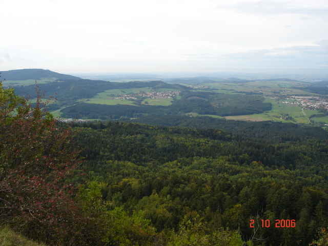
Tour gallery

Tour map and elevation profile

  • Open Street Map
  • Google
Minimum height 638 m Maximum height 1005 m Detailed view

More about the tour author

JV
Member since 2006

Send private message

Comments

Lannister on 14.05.2017

Nicht alles fahrbar

Der Abschnitt unter'm Hörnle nach dem Felsenmeer ist ein Stück weit fahrbar, danach keine Chance mit dem MTB (Bäume umgestürzt, alles zugewachsen).
Schömberg erreicht man über die B27 Balingen - Rottweil, Ri Ratshausen, Parkplatz Untere Säge

GPS tracks

Trackpoints
  • GPX / Garmin Map Source (gpx) download
  • TCX / Garmin Training Center® (tcx) download
  • CRS / Garmin Training Center® (crs) download
  • Google Earth (kml) download
  • G7ToWin (g7t) download
  • TTQV (trk) download
  • Overlay (ovl) download
  • Fugawi (txt) download
  • Kompass (DAV) Track (tk) download
  • Track data sheet (pdf) download
  • Original file of the author (gpx) download

More about the tour author

JV
Member since 2006

Send private message
Share track
Add to my favorites
Remove from my favorites
Edit tags
My score
Rate
Track: Plettenberg-Lochenstein
Type: Mountain bike
Distance: 39,2 km
Evaluated on:
Duration:
Day(s)
Hour(s)
Minute(s)
Score: Landscape Fun factor Fitness Technique