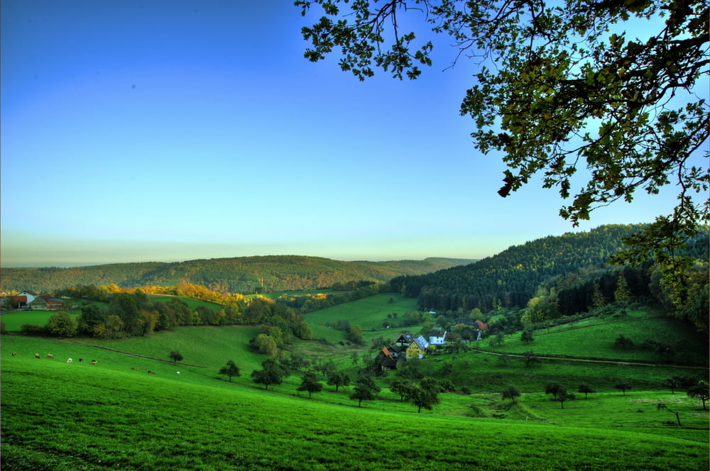
Sehr schöne Rundtour über überwiegend einsame Straßen mit tollen Ausblicken.
Tour map and elevation profile
Minimum height 125 m
Maximum height 508 m
Comments
Vom Hotel Haas'Sche Mühle in Hirschberg zwischen Mannheim und Heidelberg
GPS tracks
Trackpoints-
GPX / Garmin Map Source (gpx) download
-
TCX / Garmin Training Center® (tcx) download
-
CRS / Garmin Training Center® (crs) download
-
Google Earth (kml) download
-
G7ToWin (g7t) download
-
TTQV (trk) download
-
Overlay (ovl) download
-
Fugawi (txt) download
-
Kompass (DAV) Track (tk) download
-
Track data sheet (pdf) download
-
Original file of the author (gpx) download
Add to my favorites
Remove from my favorites
Edit tags
Open track
My score
Rate


Odenwald Runde
lediglich die Straße von Brombach ins Ulfenbachtal weist einen schlechten Straßenbelag aus.
Wiederholenswert.
Gruß
Arzberg