


Start in Neusiedl am See, nach Süden bis Mörbisch, mit der Fähre nach Illmitz und östlich des Sees nach Norden zurück nach Neusiedl. Die Strecke ist gut beschildert; fast durchwegs Asphalt, nur gegen Ende etwa fünf Kilometer Schotter. Die Fähre der "Drescher-Lines" fährt von 1. Mai bis 30. 9. 2010 ab Mörbisch jede volle und jede halbe Stunde (von 9 bis 17 Uhr); die einfache Fahrt kostet 6 Euro und dauert zirka 20 Minuten.
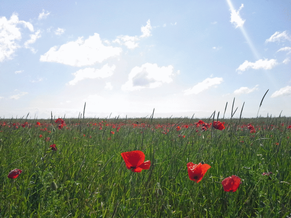
Abgesehen vom Blick auf den See lohnt die Begegnung mit der örtlichen Vogel-Population.
Tour gallery
Tour map and elevation profile
Minimum height 112 m
Maximum height 239 m
More about the tour author
|
|
Magbenkoe |
Comments

GPS tracks
Trackpoints-
GPX / Garmin Map Source (gpx) download
-
TCX / Garmin Training Center® (tcx) download
-
CRS / Garmin Training Center® (crs) download
-
Google Earth (kml) download
-
G7ToWin (g7t) download
-
TTQV (trk) download
-
Overlay (ovl) download
-
Fugawi (txt) download
-
Kompass (DAV) Track (tk) download
-
Track data sheet (pdf) download
-
Original file of the author (gpx) download
More about the tour author
|
|
Magbenkoe |
Add to my favorites
Remove from my favorites
Edit tags
Open track
My score
Rate