Login

Forgotten password?

Cookies have to be accepted!
Your browser's cookie functionality is disabled. Please enable this functionality.

Not a member yet?

Register now
Login

Available for registred users only

Log in to use this feature.

Forgotten password?

Cookies have to be accepted!
Your browser's cookie functionality is disabled. Please enable this functionality.

Not a member yet?

Register now
Filter
Categories
Advanced filters
  • Distance (km)
  • Height
Save filters Reset filter

TrackRank

QRCode

Technical data

Distance11,6 km Height787 m Way down787 m Duration04:00 h:m Date10.05.2010
Scores Author Landscape Fun factor Fitness Technique

Statistics

1870 Views Scores 121 Downloads Average
Rate
  • Track data sheet
  • Directions
  • Downloads

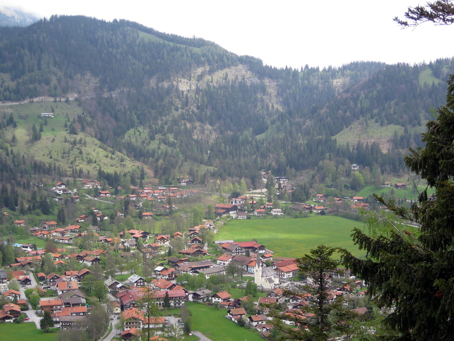
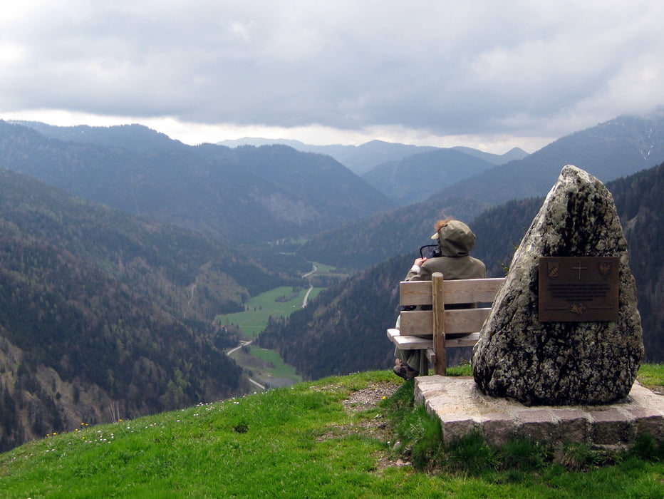
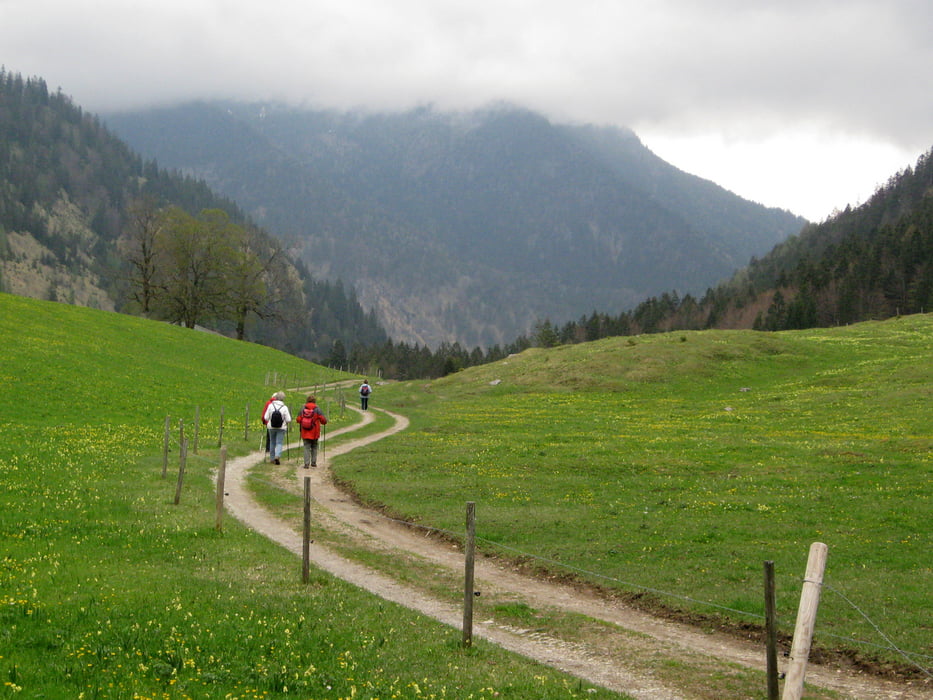
Gleich in der Nähe des Parkplatzes in Bayrischzell gelangen wir auf einen Pfad, der uns von 800 Meter in Serpentinen auf 1240 Meter Höhe zur Neuhütte bringt. Von dort haben wir einen weiten Blick in das Ursprungstal. Auf gut ausgebauten Wegen wandern wir weiter über Almen und durch Wälder bis wir wieder auf einen Pfad stoßen, auf dem wir hinunter ins Tal kommen. Anschließend wandern wir auf ebenem Waldweg zurück zum Parkplatz in Bayrischzell .

Tour gallery

Tour map and elevation profile

  • Open Street Map
  • Google
Minimum height 801 m Maximum height 1243 m Detailed view

More about the tour author

frank_guenther
Member since 2008

Send private message

Comments

 Startpunkt der Wanderung ist in Bayrischzell ein Parkplatz in der Seebergstraße:

N47.6714373 E12.0103741. Dieser Parkplatz ist von der Deutschen Alpenstraße bei Bayrischzell aus zu erreichen, indem man über eine kleine Brücke den Aubach quert.


GPS tracks

Trackpoints
  • GPX / Garmin Map Source (gpx) download
  • TCX / Garmin Training Center® (tcx) download
  • CRS / Garmin Training Center® (crs) download
  • Google Earth (kml) download
  • G7ToWin (g7t) download
  • TTQV (trk) download
  • Overlay (ovl) download
  • Fugawi (txt) download
  • Kompass (DAV) Track (tk) download
  • Track data sheet (pdf) download
  • Original file of the author (gpx) download

More about the tour author

frank_guenther
Member since 2008

Send private message
Share track
Add to my favorites
Remove from my favorites
Edit tags
My score
Rate
Track: Auf dem Bayrischzeller Höhenweg
Type: Mountain hiking
Distance: 11,6 km
Evaluated on:
Duration:
Day(s)
Hour(s)
Minute(s)
Score: Landscape Fun factor Fitness Technique