Login

Forgotten password?

Cookies have to be accepted!
Your browser's cookie functionality is disabled. Please enable this functionality.

Not a member yet?

Register now
Login

Available for registred users only

Log in to use this feature.

Forgotten password?

Cookies have to be accepted!
Your browser's cookie functionality is disabled. Please enable this functionality.

Not a member yet?

Register now
Filter
Categories
Advanced filters
  • Distance (km)
  • Height
Save filters Reset filter

TrackRank

QRCode

Technical data

Distance29,6 km Height771 m Way down768 m Duration02:45 h:m Date16.05.2010
Scores Author Landscape Fun factor Fitness Technique

Statistics

336 Views Scores 66 Downloads Average
Rate
  • Track data sheet
  • Directions
  • Downloads

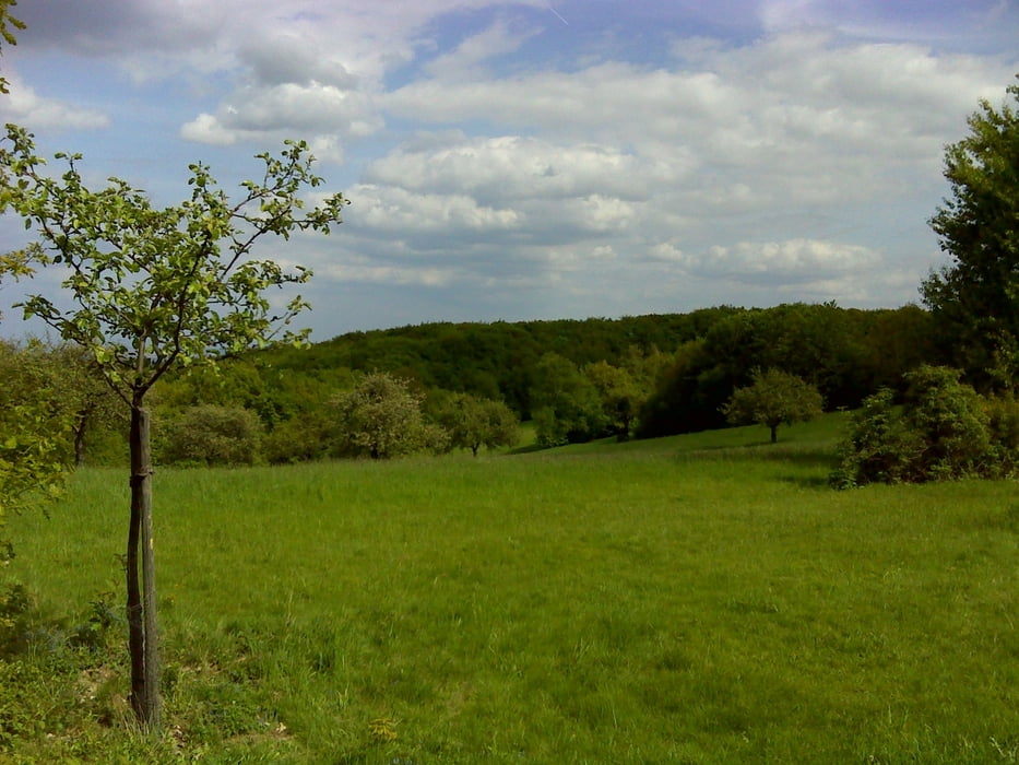
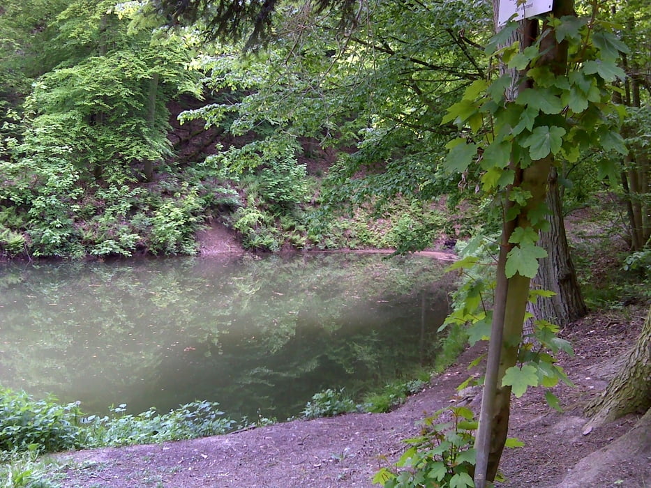
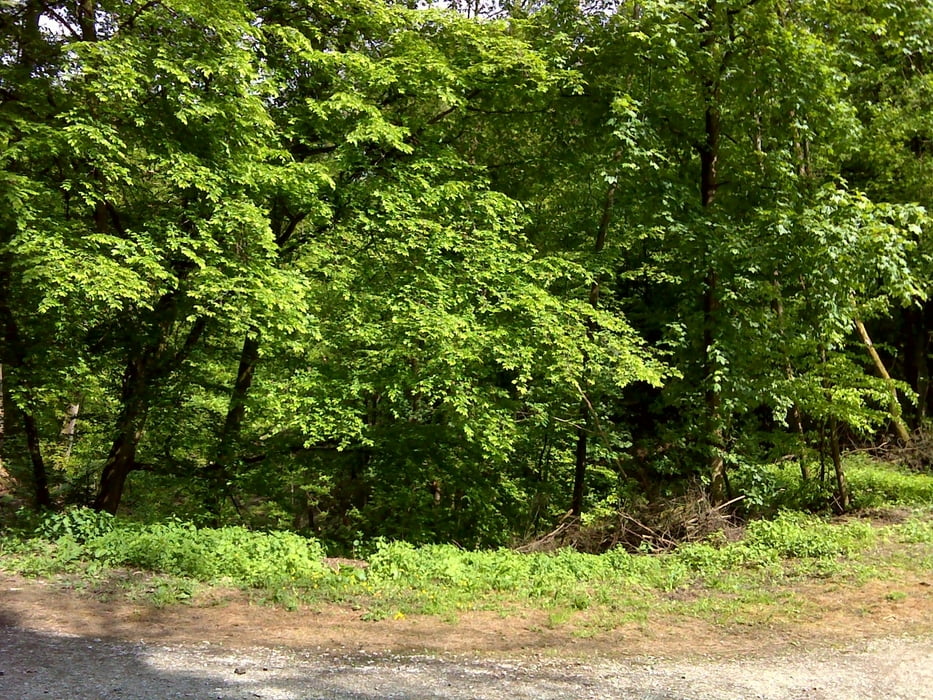
Hofheim -> Kaisertempel -> Bahaitempel -> Hofheim

Nix sonstwas außergewöhnliches, aber eher ne traillastige Runde um Lorsbach/Langenhain, um die Kondition zu halten. Kann man auch gut mit Geocaching verbinden, da bekomt man auch neue Ideen für Trails und Tipps für schöne Ausblicke ins Rhein-Main-Gebiet.

Tour gallery

Tour map and elevation profile

  • Open Street Map
  • Google
Minimum height 124 m Maximum height 446 m Detailed view

More about the tour author

Karsten1970
Member since 2009

Send private message

Comments

GPS tracks

Trackpoints
  • GPX / Garmin Map Source (gpx) download
  • TCX / Garmin Training Center® (tcx) download
  • CRS / Garmin Training Center® (crs) download
  • Google Earth (kml) download
  • G7ToWin (g7t) download
  • TTQV (trk) download
  • Overlay (ovl) download
  • Fugawi (txt) download
  • Kompass (DAV) Track (tk) download
  • Track data sheet (pdf) download
  • Original file of the author (gpx) download

More about the tour author

Karsten1970
Member since 2009

Send private message
Share track
Add to my favorites
Remove from my favorites
Edit tags
My score
Rate
Track: 100516_Bahairunde
Type: Mountain bike
Distance: 29,6 km
Evaluated on:
Duration:
Day(s)
Hour(s)
Minute(s)
Score: Landscape Fun factor Fitness Technique