


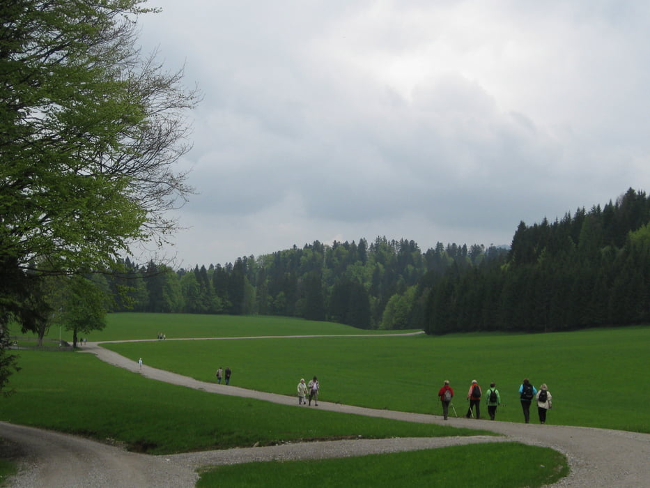
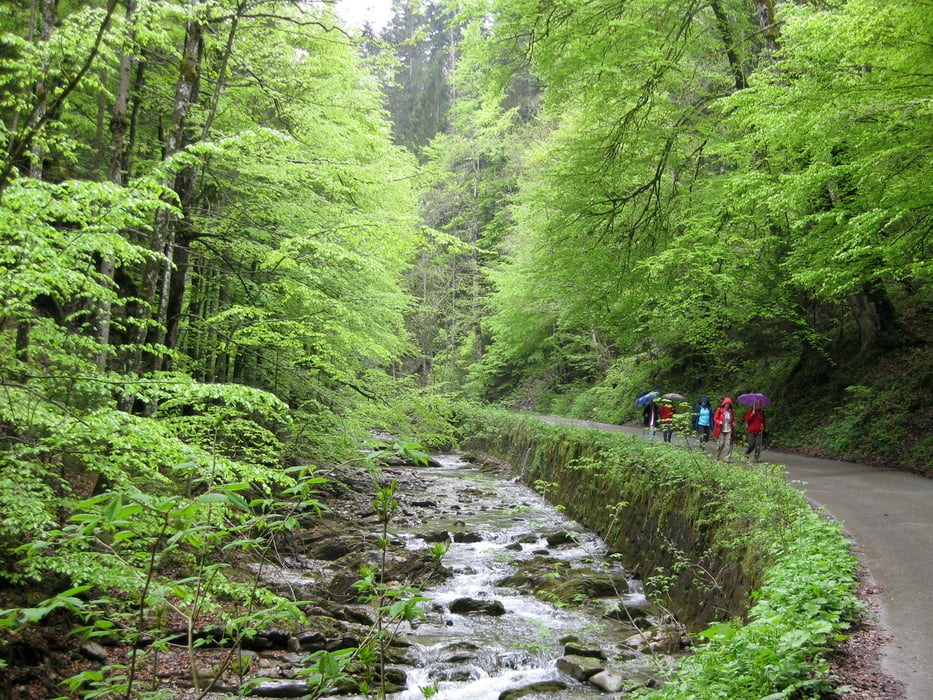
Vom Parkplatz in Bad Wiessee aus wandern wir am Söllbach entlang bis wir auf den Weg zum Bauer in der Au kommen. Vom Bauer in der Au haben wir einen weiten Blick über Wiesen und auf die Berge.
Der Rundweg führt uns weiter über Wiesen und durch Wälder auf einen Panoramaweg mit schönem Blick auf Bad Wiessee und den Tegernsee. Kurz vor Erreichen Gutes "Buch" biegen wir links ab und queren den Söllbach, um zu unseren Parkplatz zurück zu kommen.
Tour gallery


Tour map and elevation profile
Minimum height 758 m
Maximum height 1004 m
More about the tour author

|
frank_guenther |
Comments

Startpunkt der Tour ist in Bad Wiessee auf einem Parkplatz in der Söllbachtalstraße: N47.7021432 E11.7190862
GPS tracks
Trackpoints-
GPX / Garmin Map Source (gpx) download
-
TCX / Garmin Training Center® (tcx) download
-
CRS / Garmin Training Center® (crs) download
-
Google Earth (kml) download
-
G7ToWin (g7t) download
-
TTQV (trk) download
-
Overlay (ovl) download
-
Fugawi (txt) download
-
Kompass (DAV) Track (tk) download
-
Track data sheet (pdf) download
-
Original file of the author (gpx) download
More about the tour author
|
|
frank_guenther |
Add to my favorites
Remove from my favorites
Edit tags
Open track
My score
Rate