


Ausgangspunkt dieser Tour ist die Tankstelle in Brakelsiek. Hier treffen sich regelmäßig sonntags die Rennradfahrer aus Schieder-Schwalenberg.
Diese wunderschöne Tour führt dich im steten Auf und Ab durch Schieder, vorbei an Blomberg nach Barntrup. Auf Radwegen vorbei an Bega, Massbruch, Mosebeck, Brüntrup, Wellentrup nach Reelkirchen. Ab hier eine tolle Auf - und Abfahrt nach Belle. Über Steinheim und Lothe zum Ausgangspunkt nach Brakelsiek.
Insgesamt wenig Verkehr auf den Straßen.
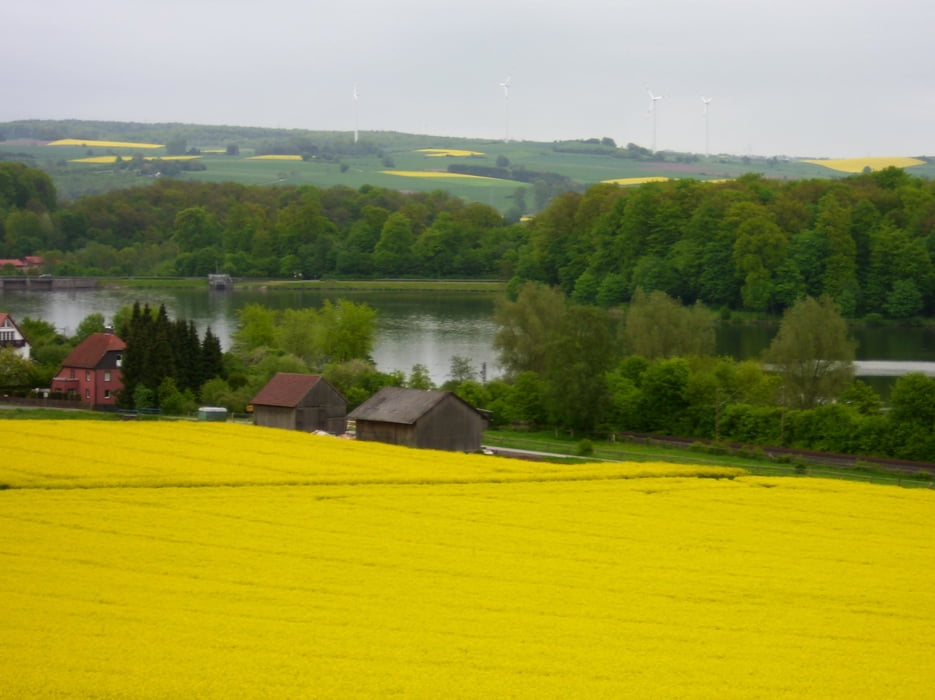
Viele tolle Ausblicke auf der Strecke.
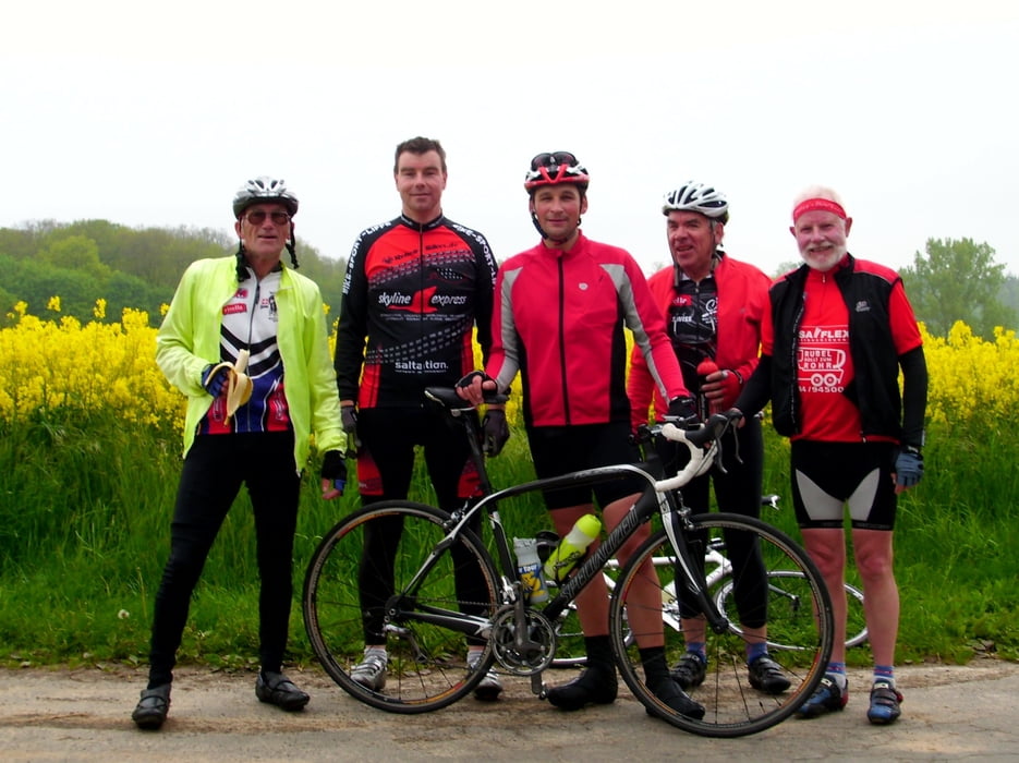
Tour gallery
Tour map and elevation profile
Minimum height 110 m
Maximum height 260 m
More about the tour author
|
|
radrolle48 |
Comments
GPS tracks
Trackpoints-
GPX / Garmin Map Source (gpx) download
-
TCX / Garmin Training Center® (tcx) download
-
CRS / Garmin Training Center® (crs) download
-
Google Earth (kml) download
-
G7ToWin (g7t) download
-
TTQV (trk) download
-
Overlay (ovl) download
-
Fugawi (txt) download
-
Kompass (DAV) Track (tk) download
-
Track data sheet (pdf) download
-
Original file of the author (gpx) download
More about the tour author
|
|
radrolle48 |
Add to my favorites
Remove from my favorites
Edit tags
Open track
My score
Rate
Super Bilder
Gibt es dort öfter solche Touren? Dann fahre ich doch auch mal mit.
Beste Grüße von orion_49